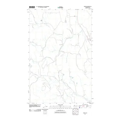
2011 Map of Arden
USGS Topo · Published 2011About this map
The Colville River corridor in Stevens County defines this area of eastern Washington, where the valley floor transitions into the complex drainage networks of Haller Creek and Stranger Creek. Small settlements such as Orin and Arden are linked by the Old Arden Hwy, reflecting the region's long-standing reliance on these arterial valley routes. Further south, the landscape opens into Marble Valley, a name that hints at the mineral history of the region. This is further evidenced by the location of the Ham Mine near the center of the sheet.
Find a feature on this map
43 named features on this map. Tap any name to fly to it.
Don’t see what you’re looking for? This feature index may not catch every label — zoom into the map to look around manually.
Map Details
Editions of this 2011 Arden Map
This is the sole edition of this map. No revisions or reprints were ever made.
Other maps of this area

1927 · Chewelah
USGS Topo · 1:125,000

1929 · Colville
USGS Topo · 1:125,000

1930 · Chewelah
USGS Topo · 1:125,000

1933 · Colville
USGS Topo · 1:125,000

1936 · Marcus
USGS Topo · 1:96,000

1942 · Marcus
USGS Topo · 1:125,000

1948 · Kettle Falls
USGS Topo · 1:62,500

1950 · Inchelium
USGS Topo · 1:62,500

1951 · Kettle Falls
USGS Topo · 1:62,500

1952 · White Mud Lake
USGS Topo · 1:24,000