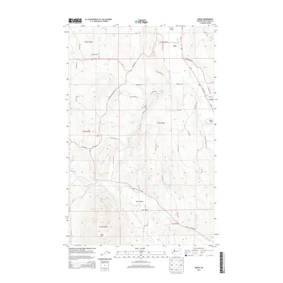
2014 Map of Arden
USGS Topo · Published 2014About this map
The Colville River valley defines the eastern edge of this Stevens County landscape, where the settlements of Arden and Orin serve as anchor points along the Us-395 corridor. Moving westward from the river, the terrain climbs toward the prominent Dunn Mtn in the south and the North Basin in the north. The central portion of the map is a complex network of drainages including Stranger Cr, Haller Cr, and Cole Cr, which provide the hydrological framework for small agricultural pockets like Marble Valley and Swiss Valley.
Find a feature on this map
56 named features on this map. Tap any name to fly to it.
Don’t see what you’re looking for? This feature index may not catch every label — zoom into the map to look around manually.
Map Details
Editions of this 2014 Arden Map
This is the sole edition of this map. No revisions or reprints were ever made.
Other maps of this area

1927 · Chewelah
USGS Topo · 1:125,000

1929 · Colville
USGS Topo · 1:125,000

1930 · Chewelah
USGS Topo · 1:125,000

1933 · Colville
USGS Topo · 1:125,000

1936 · Marcus
USGS Topo · 1:96,000

1942 · Marcus
USGS Topo · 1:125,000

1948 · Kettle Falls
USGS Topo · 1:62,500

1950 · Inchelium
USGS Topo · 1:62,500

1951 · Kettle Falls
USGS Topo · 1:62,500

1952 · White Mud Lake
USGS Topo · 1:24,000