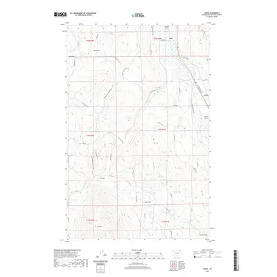
2020 Map of Arden
USGS Topo · Published 2020About this map
Colville Valley and its surrounding highlands define this landscape in Stevens County, where the meandering Colville River flows northward through a broad agricultural and marshy basin. The settlement of Arden sits along the eastern valley wall, serving as a historic point of reference along the Old Arden Hwy. The terrain varies significantly from the flat river valley to the prominent heights of Dunn Mtn in the southwest and the elevated Swiss Valley further south. Local water features like Rocky Lake, Blue Lake, and Lenz Lake dot the ridges and valleys, illustrating the complex glacial and fluvial history of the region. A dense network of rural roads such as Orin Rice Rd and Valley Westside Rd connects scattered farmsteads and the northern community of Orin, revealing a land use pattern focused on ranching and timber along the edges of the Marble Valley.
Find a feature on this map
56 named features on this map. Tap any name to fly to it.
Don’t see what you’re looking for? This feature index may not catch every label — zoom into the map to look around manually.
Map Details
Editions of this 2020 Arden Map
This is the sole edition of this map. No revisions or reprints were ever made.
Other maps of this area
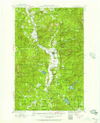
1927 · Chewelah
USGS Topo · 1:125,000
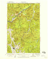
1929 · Colville
USGS Topo · 1:125,000
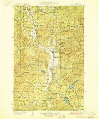
1930 · Chewelah
USGS Topo · 1:125,000
1933 · Colville
USGS Topo · 1:125,000
1936 · Marcus
USGS Topo · 1:96,000
1942 · Marcus
USGS Topo · 1:125,000
1948 · Kettle Falls
USGS Topo · 1:62,500
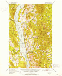
1950 · Inchelium
USGS Topo · 1:62,500
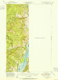
1951 · Kettle Falls
USGS Topo · 1:62,500
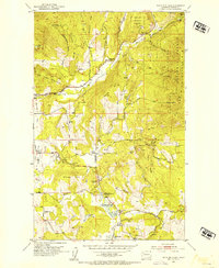
1952 · White Mud Lake
USGS Topo · 1:24,000