2021 Map of Argyle
USGS Topo · Published 2021About this map
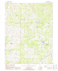
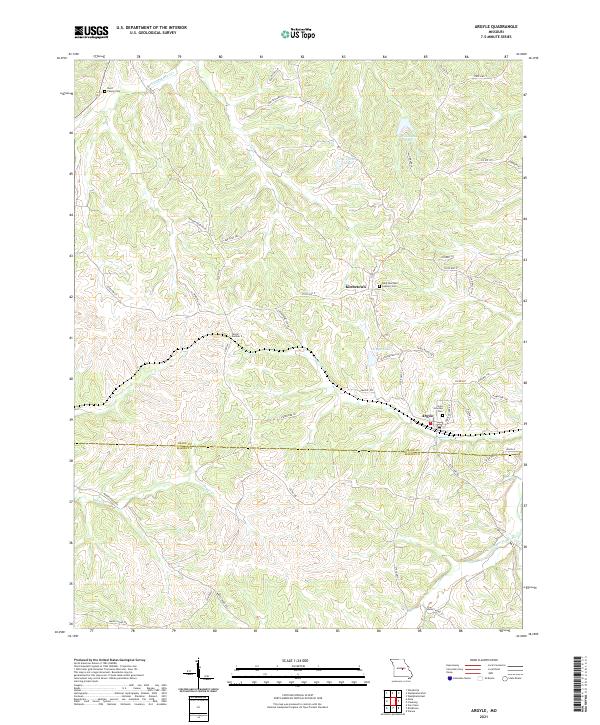
Argyle and Koeltztown anchor this rural landscape where the border between Osage Co and Maries Co follows the local topography. This region is defined by the winding paths of the Little Maries River and its various tributaries, including Little Maries Cr, Sugar Cr, and Loose Creek. The map documents numerous local landmarks of value to family historians, such as the Burd Family Cem and the Saint Boniface Catholic Cem. A notable engineering feature, Tunnel Number 2, indicates the historical railroad influence on the terrain, cutting through the ridges between the river valleys. The presence of smaller bodies of water like Argyle Lake and Willibrand Lake highlights the modern rural character of the area, while a dense network of local routes like County Road 516 and County Road 512 provides a look at the contemporary connectivity between these Missouri communities.
Find a feature on this map
51 named features on this map. Tap any name to fly to it.
Don’t see what you’re looking for? This feature index may not catch every label — zoom into the map to look around manually.
Map Details
Editions of this 2021 Argyle Map
This is the sole edition of this map. No revisions or reprints were ever made.