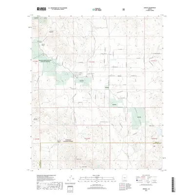
2018 Map of Arivaca
USGS Topo · Published 2018About this map
Arivaca serves as the central hub of this high-desert landscape in the late 2010s, where residential streets like W 1st St and S 7th Ave meet the broader cattle and mining routes of the Arizona borderlands. The terrain is defined by the sharp transition from the Las Guijas Mountains in the north to the Coronado National Forest and Cobre Ridge in the south. This area illustrates a complex patchwork of land management, dominated by the Buenos Aires National Wildlife Refuge (BANWR) and its conservation of critical riparian corridors along Arivaca Creek. Local water sources are marked by numerous cattle tanks and springs, including Mule Shoe Tank and Fraguita Spring, which have sustained ranching for generations. The inclusion of W Yellow Jacket Mine Rd alludes to the region's long history of mineral extraction among the peaks of Fraguita Peak and the San Luis Mountains.
Find a feature on this map
88 named features on this map. Tap any name to fly to it.
Don’t see what you’re looking for? This feature index may not catch every label — zoom into the map to look around manually.
Map Details
Editions of this 2018 Arivaca Map
This is the sole edition of this map. No revisions or reprints were ever made.
Other maps of this area

1920 · Arivaca
USGS Topo · 1:125,000

1921 · Old Glory
USGS Topo · 1:125,000

1939 · Tubac
USGS Topo · 1:62,500

1941 · Arivaca
USGS Topo · 1:62,500

1942 · Ruby
USGS Topo · 1:62,500

1942 · Oro Blanco
USGS Topo · 1:62,500

1943 · Arivaca
USGS Topo · 1:62,500

1943 · Old Glory
USGS Topo · 1:125,000

1943 · Tubac
USGS Topo · 1:62,500

1944 · Oro Blanco
USGS Topo · 1:62,500