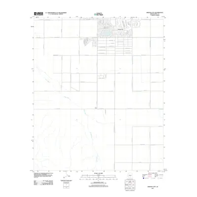
2011 Map of Arizona City
USGS Topo · Published 2011About this map
Arizona City stands as a planned community in the desert landscape of Pinal County, characterized by its distinctive street patterns and residential clusters. The residential development features uniquely named thoroughfares such as W Copper Kettle Dr and W Lazy Acres Dr, contrasting with the rigid section-line grid that organizes the surrounding agricultural and undeveloped lands. To the south, the ephemeral Greene Wash meanders across the territory, cutting through a landscape primarily defined by vast open spaces and access roads like S Sunland Gin Rd and S Toltec Buttes Rd. This survey reflects the modern infrastructure of the region, including the small settlement of Curry Camp situated along W Harmon Rd. The layout of the area illustrates the transition from concentrated desert living to the expansive, irrigated tracts common in this part of Arizona.
Find a feature on this map
56 named features on this map. Tap any name to fly to it.
Don’t see what you’re looking for? This feature index may not catch every label — zoom into the map to look around manually.
Map Details
Editions of this 2011 Arizona City Map
This is the sole edition of this map. No revisions or reprints were ever made.
Other maps of this area

1922 · Casa Grande
USGS Topo · 1:62,500

1922 · Signal Peak
USGS Topo · 1:62,500

1924 · Signal Peak
USGS Topo · 1:62,500

1924 · Casa Grande
USGS Topo · 1:62,500

1942 · Silver Reef Mountains
USGS Topo · 1:62,500

1947 · Eloy
USGS Topo · 1:62,500

1948 · Eloy
USGS Topo · 1:62,500

1956 · Tucson
USGS Topo · 1:250,000

1958 · Tucson
USGS Topo · 1:250,000

1959 · Tucson
USGS Topo · 1:250,000