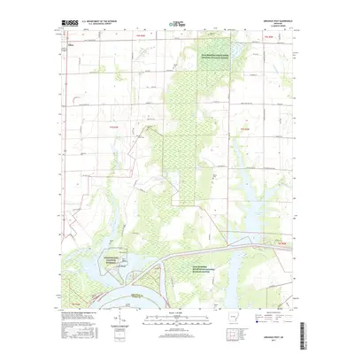
2017 Map of Arkansas Post
USGS Topo · Published 2017About this map
Arkansas Post National Memorial preserves the site of the first permanent European settlement in the Mississippi River Valley, situated at the significant confluence where Little Post Bayou meets the Arkansas River. This modern survey documents the intricate water network of the Post Bend, including the Arkansas Post Canal and Merrisach Lake, which serve as vital components of the regional navigation and flood control systems. The landscape is characterized by its transition from the agricultural plains surrounding Gillett to the dense bottomland hardwoods of the Dale Bumpers White River National Wildlife Refuge.
Find a feature on this map
77 named features on this map. Tap any name to fly to it.
Don’t see what you’re looking for? This feature index may not catch every label — zoom into the map to look around manually.
Map Details
Editions of this 2017 Arkansas Post Map
This is the sole edition of this map. No revisions or reprints were ever made.
Other maps of this area

1935 · Red Fork
USGS Topo · 1:62,500

1935 · Gillett
USGS Topo · 1:62,500

1939 · Henrico
USGS Topo · 1:62,500

1939 · Big Island
USGS Topo · 1:62,500

1948 · Helena
USGS Topo · 1:250,000

1950 · Helena
USGS Topo · 1:250,000

1953 · Greenwood
USGS Topo · 1:250,000

1954 · Henrico
USGS Topo · 1:62,500

1955 · Helena
USGS Topo · 1:250,000

1956 · Greenwood
USGS Topo · 1:250,000