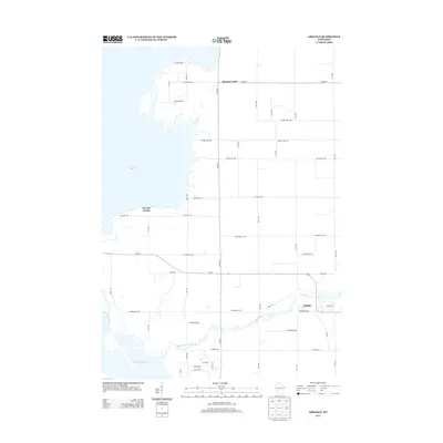
2013 Map of Arkdale
USGS Topo · Published 2013About this map
Petenwell Lake and the northern reaches of Castle Rock Lake dominate the western edge of this central Wisconsin landscape, where the Wisconsin River corridor transitions into a grid of rural homesteads and agricultural roads. The settlement of Arkdale sits along the eastern edge, positioned where Wi-21 crosses Big Roche a Cri Creek. To the north and west, the smaller communities of Monroe Center and Strongs Prairie serve as local anchors. The map reveals a dense network of numbered avenues and named drives like Blackhawk Ave and Cumberland Ave, illustrating the systematic development of the sand country between the large reservoirs. This 2013 survey provides a detailed view of the modern riparian boundary and the road infrastructure connecting the isolated farmsteads and lakefront properties of Adams County.
Find a feature on this map
41 named features on this map. Tap any name to fly to it.
Don’t see what you’re looking for? This feature index may not catch every label — zoom into the map to look around manually.
Map Details
Editions of this 2013 Arkdale Map
This is the sole edition of this map. No revisions or reprints were ever made.
Other maps of this area

1921 · Mauston
USGS Topo · 1:62,500

1953 · Eau Claire
USGS Topo · 1:250,000

1955 · Green Bay
USGS Topo · 1:250,000

1957 · Madison
USGS Topo · 1:250,000

1958 · Eau Claire
USGS Topo · 1:250,000

1958 · Arkdale
USGS Topo · 1:48,000

1958 · Necedah
USGS Topo · 1:48,000

1958 · La Crosse
USGS Topo · 1:250,000

1960 · Madison
USGS Topo · 1:250,000

1961 · La Crosse
USGS Topo · 1:250,000