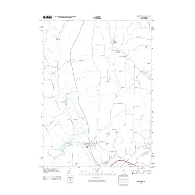
2013 Map of Arkport
USGS Topo · Published 2013About this map
The Canisteo River and its various tributaries define the landscape of the southern Tier in this early 21st-century record. The village of Arkport serves as a focal point, situated near the headwaters where Mud Ditch and Lime Kiln Cr converge. Agricultural operations and family-named landmarks are scattered throughout the surrounding hills, including Lismore Dairy, Jenkins Farm, and Marcus Farms. The terrain transitions from the wetland area known as The Muck to the prominent heights of Pennsylvania Hill and Sharps Hill.
Find a feature on this map
118 named features on this map. Tap any name to fly to it.
Don’t see what you’re looking for? This feature index may not catch every label — zoom into the map to look around manually.
Map Details
Editions of this 2013 Arkport Map
This is the sole edition of this map. No revisions or reprints were ever made.
Other maps of this area

1902 · Wayland
USGS Topo · 1:62,500

1904 · Wayland
USGS Topo · 1:62,500

1905 · Nunda
USGS Topo · 1:62,500

1915 · Hornell
USGS Topo · 1:62,500

1916 · Canaseraga
USGS Topo · 1:62,500

1918 · Hornell
USGS Topo · 1:62,500

1940 · Canaseraga
USGS Topo · 1:62,500

1942 · Wayland
USGS Topo · 1:31,680

1942 · Dansville
USGS Topo · 1:31,680

1943 · Ossian
USGS Topo · 1:24,000