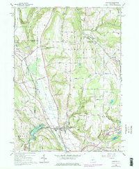
1965 Map of Arkport
USGS Topo · Published 1978About this map
The Canisteo River and the fertile lowlands of The Muck define the valley floor where the village of Arkport serves as a critical junction for the Conrail line. This 1960s survey, updated in the late 1970s, illustrates a landscape where agricultural drainage and flood control are paramount, evidenced by the Arkport Dam and the extensive network of ditches through the mucklands.
Find a feature on this map
74 named features on this map. Tap any name to fly to it.
Don’t see what you’re looking for? This feature index may not catch every label — zoom into the map to look around manually.
Map Details
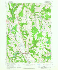
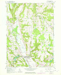
Editions of this 1965 Arkport Map
3 editions found
Other maps of this area

1902 · Wayland
USGS Topo · 1:62,500

1904 · Wayland
USGS Topo · 1:62,500

1905 · Nunda
USGS Topo · 1:62,500

1915 · Hornell
USGS Topo · 1:62,500

1916 · Canaseraga
USGS Topo · 1:62,500

1918 · Hornell
USGS Topo · 1:62,500

1940 · Canaseraga
USGS Topo · 1:62,500

1942 · Wayland
USGS Topo · 1:31,680

1942 · Dansville
USGS Topo · 1:31,680

1943 · Ossian
USGS Topo · 1:24,000