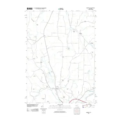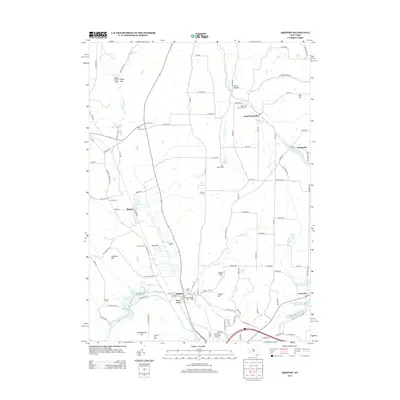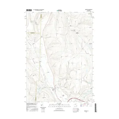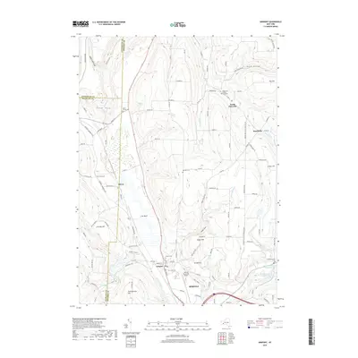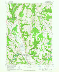
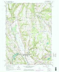
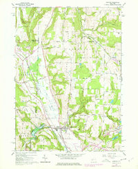
1965 Map of Arkport
USGS Topo · Published 1967About this map
Arkport Dam stands as a primary engineering landmark in this mid-1960s landscape, regulating the waters of the Canisteo River where Steuben, Allegany, and Livingston counties meet. This region is defined by the sharp transition between the upland peaks of Dansville Mtn and Oak Hill and the distinctive low-lying wetland known as The Muck. The Erie-Lackawanna Railroad cuts a straight path through this valley, passing the settlement of Burns and connecting the northern highlands with the village of Arkport. Rural life is marked by local gathering places like the Grange Hall near Eveland Hill and several family-named landmarks including Dotys Corners and Day Hill. The presence of multiple cemeteries, such as Forest Lawn Cem and Oak Hill Cem, provides essential points for genealogical research, while the series of Hornell Reservoirs tucked into the eastern hills indicates the infrastructure supporting the nearby population centers.
Find a feature on this map
75 named features on this map. Tap any name to fly to it.
Don’t see what you’re looking for? This feature index may not catch every label — zoom into the map to look around manually.
Map Details
Editions of this 1965 Arkport Map
3 editions found
Historical Maps of Hornell Through Time
6 maps found