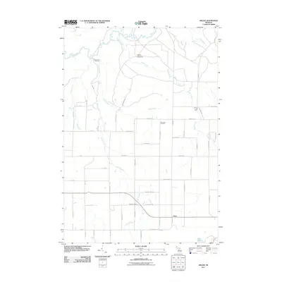
2011 Map of Arlene
USGS Topo · Published 2011About this map
The Manistee River and its network of tributaries, including Hopkins Creek and Morrisy Creek, carve through this section of Missaukee County. In this rural landscape, the settlement of Arlene sits at the junction of local roads and watercourses, reflecting the area's long-standing connection to the river valley's timber and transit roots. Local history and genealogy interest is concentrated near sites such as Caldwell Cemetery and Bloomfield Cemetery, which remain as anchor points for the surrounding community.
Find a feature on this map
47 named features on this map. Tap any name to fly to it.
Don’t see what you’re looking for? This feature index may not catch every label — zoom into the map to look around manually.
Map Details
Editions of this 2011 Arlene Map
This is the sole edition of this map. No revisions or reprints were ever made.
Other maps of this area

1954 · Traverse City
USGS Topo · 1:250,000

1956 · Kalkaska
USGS Topo · 1:62,500

1956 · Fife Lake
USGS Topo · 1:62,500

1956 · Cadillac North
USGS Topo · 1:62,500

1956 · Lake City
USGS Topo · 1:62,500

1958 · Traverse City
USGS Topo · 1:250,000

1983 · Cadillac
USGS Topo · 1:100,000

1983 · Lake City
USGS Topo · 1:25,000

1983 · Manton
USGS Topo · 1:25,000

1983 · Cadillac North
USGS Topo · 1:24,000