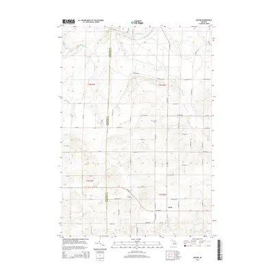
2014 Map of Arlene
USGS Topo · Published 2014About this map
The Manistee River winds through the northern reaches of this rural landscape, marking the transition from the river bottom toward the upland plateaus. Centered on the boundary between Wexford Co and Missaukee Co, the area is characterized by a regular grid of section roads and small agricultural settlements. The small community of Arlene sits in the southern portion of the quadrangle, serving as a local focal point alongside several rural burying grounds including Bloomfield Cem and Caldwell Cem.
Find a feature on this map
61 named features on this map. Tap any name to fly to it.
Don’t see what you’re looking for? This feature index may not catch every label — zoom into the map to look around manually.
Map Details
Editions of this 2014 Arlene Map
This is the sole edition of this map. No revisions or reprints were ever made.
Other maps of this area

1954 · Traverse City
USGS Topo · 1:250,000

1956 · Kalkaska
USGS Topo · 1:62,500

1956 · Fife Lake
USGS Topo · 1:62,500

1956 · Cadillac North
USGS Topo · 1:62,500

1956 · Lake City
USGS Topo · 1:62,500

1958 · Traverse City
USGS Topo · 1:250,000

1983 · Cadillac
USGS Topo · 1:100,000

1983 · Lake City
USGS Topo · 1:25,000

1983 · Manton
USGS Topo · 1:25,000

1983 · Cadillac North
USGS Topo · 1:24,000