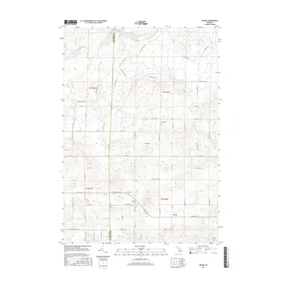
2017 Map of Arlene
USGS Topo · Published 2017About this map
The Manistee River cuts across the northwest corner of this Michigan landscape, where the border between Wexford and Missaukee Counties defines the local geography. The area is characterized by a grid of rural roads and numerous waterways, including Hopkins Creek, Golden Creek, and the distinctive Boiling Springs. The small settlement of Arlene sits in the southeast, serving as a focal point for the surrounding township. Local history and genealogy are anchored by the Caldwell Cemetery and Bloomfield Cemetery, which remain prominent landmarks in this agricultural and forested terrain.
Find a feature on this map
56 named features on this map. Tap any name to fly to it.
Don’t see what you’re looking for? This feature index may not catch every label — zoom into the map to look around manually.
Map Details
Editions of this 2017 Arlene Map
This is the sole edition of this map. No revisions or reprints were ever made.
Other maps of this area

1954 · Traverse City
USGS Topo · 1:250,000

1956 · Kalkaska
USGS Topo · 1:62,500

1956 · Fife Lake
USGS Topo · 1:62,500

1956 · Cadillac North
USGS Topo · 1:62,500

1956 · Lake City
USGS Topo · 1:62,500

1958 · Traverse City
USGS Topo · 1:250,000

1983 · Cadillac
USGS Topo · 1:100,000

1983 · Lake City
USGS Topo · 1:25,000

1983 · Manton
USGS Topo · 1:25,000

1983 · Cadillac North
USGS Topo · 1:24,000