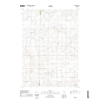
2019 Map of Arlene
USGS Topo · Published 2019About this map
Arlene sits at the heart of this topographic study of the Wexford and Missaukee county border, where a complex network of local roads and recreational trails defines the rural landscape. The northern reaches are shaped by the winding Manistee River, joined by tributaries like Hopkins Cr and Morrisy Cr. The terrain here is varied, moving from the river lowlands to the higher ground near the Bloomfield Cem.
Find a feature on this map
57 named features on this map. Tap any name to fly to it.
Don’t see what you’re looking for? This feature index may not catch every label — zoom into the map to look around manually.
Map Details
Editions of this 2019 Arlene Map
This is the sole edition of this map. No revisions or reprints were ever made.
Other maps of this area

1954 · Traverse City
USGS Topo · 1:250,000

1956 · Kalkaska
USGS Topo · 1:62,500

1956 · Fife Lake
USGS Topo · 1:62,500

1956 · Cadillac North
USGS Topo · 1:62,500

1956 · Lake City
USGS Topo · 1:62,500

1958 · Traverse City
USGS Topo · 1:250,000

1983 · Cadillac
USGS Topo · 1:100,000

1983 · Lake City
USGS Topo · 1:25,000

1983 · Manton
USGS Topo · 1:25,000

1983 · Cadillac North
USGS Topo · 1:24,000