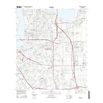
2015 Map of Arlington
USGS Topo · Published 2015About this map
The Saint Johns River and its intricate tributaries define the eastern residential landscape of Jacksonville in this 2015 study. The map details the dense suburban development of neighborhoods like Arlington, Eggleston Heights, and Holiday Hill, showing the complex network of streets that have filled the spaces between historic watercourses such as Pottsburg Creek and Silversmith Cr. Prominent infrastructure including the Mathews Bridge and Jacksonville Executive at Craig Airport highlight the area's role as a transportation hub.
Find a feature on this map
65 named features on this map. Tap any name to fly to it.
Don’t see what you’re looking for? This feature index may not catch every label — zoom into the map to look around manually.
Map Details
Editions of this 2015 Arlington Map
This is the sole edition of this map. No revisions or reprints were ever made.
Other maps of this area

1917 · Orange Park
USGS Topo · 1:62,500

1918 · Jacksonville
USGS Topo · 1:62,500

1918 · Orange Park
USGS Topo · 1:62,500

1918 · Palm Valley
USGS Topo · 1:62,500

1918 · Mayport
USGS Topo · 1:62,500

1948 · Jacksonville
USGS Topo · 1:250,000

1948 · Jacksonville Beach
USGS Topo · 1:24,000

1948 · Eastport
USGS Topo · 1:24,000

1949 · Jacksonville Beach
USGS Topo · 1:24,000

1950 · Arlington
USGS Topo · 1:24,000
Featured Places
- Jacksonville, FL
- Holiday Hill, Jacksonville
- Greenfield Manor, Jacksonville
- Beechwood, Jacksonville
- Gilmore, Jacksonville