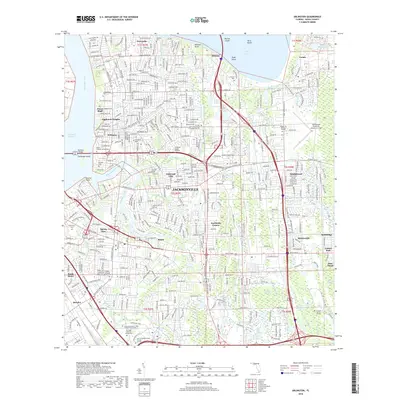
2018 Map of Arlington
USGS Topo · Published 2018About this map
The Saint Johns River and its intricate tributaries define the eastern reaches of Jacksonville, where suburban growth meets the tidal waterways of the Arlington River and Pottsburg Creek. Long-established communities such as Arlington, Eggleston Heights, and Floral Bluff are densely mapped, reflecting decades of residential development connected by the Arlington Expressway and Mathews Bridge.
Find a feature on this map
71 named features on this map. Tap any name to fly to it.
Don’t see what you’re looking for? This feature index may not catch every label — zoom into the map to look around manually.
Map Details
Editions of this 2018 Arlington Map
This is the sole edition of this map. No revisions or reprints were ever made.
Other maps of this area

1917 · Orange Park
USGS Topo · 1:62,500

1918 · Jacksonville
USGS Topo · 1:62,500
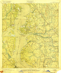
1918 · Orange Park
USGS Topo · 1:62,500
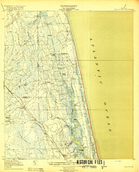
1918 · Palm Valley
USGS Topo · 1:62,500
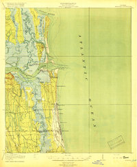
1918 · Mayport
USGS Topo · 1:62,500

1948 · Jacksonville
USGS Topo · 1:250,000
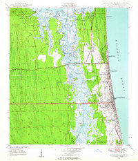
1948 · Jacksonville Beach
USGS Topo · 1:24,000
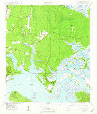
1948 · Eastport
USGS Topo · 1:24,000
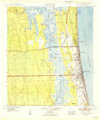
1949 · Jacksonville Beach
USGS Topo · 1:24,000
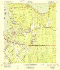
1950 · Arlington
USGS Topo · 1:24,000
Featured Places
- Jacksonville, FL
- Holiday Hill, Jacksonville
- Greenfield Manor, Jacksonville
- Beechwood, Jacksonville
- Gilmore, Jacksonville