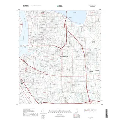
2021 Map of Arlington
USGS Topo · Published 2021About this map
Jacksonville University and numerous residential developments dominate this 2021 landscape east of the Saint Johns River. The map captures a densely populated corridor defined by major arteries like the Arlington Expy and Atlantic Blvd, which connect established neighborhoods such as Arlington, Eggleston Heights, and Southside Estates. The presence of several historic burial grounds, including Cosmo Cem and Parsons Cem, provides a critical link to the area's earlier settlement patterns.
Find a feature on this map
71 named features on this map. Tap any name to fly to it.
Don’t see what you’re looking for? This feature index may not catch every label — zoom into the map to look around manually.
Map Details
Editions of this 2021 Arlington Map
This is the sole edition of this map. No revisions or reprints were ever made.
Other maps of this area

1917 · Orange Park
USGS Topo · 1:62,500

1918 · Jacksonville
USGS Topo · 1:62,500

1918 · Orange Park
USGS Topo · 1:62,500

1918 · Palm Valley
USGS Topo · 1:62,500

1918 · Mayport
USGS Topo · 1:62,500

1948 · Jacksonville
USGS Topo · 1:250,000

1948 · Jacksonville Beach
USGS Topo · 1:24,000

1948 · Eastport
USGS Topo · 1:24,000

1949 · Jacksonville Beach
USGS Topo · 1:24,000

1950 · Arlington
USGS Topo · 1:24,000
Featured Places
- Jacksonville, FL
- Holiday Hill, Jacksonville
- Greenfield Manor, Jacksonville
- Beechwood, Jacksonville
- Gilmore, Jacksonville