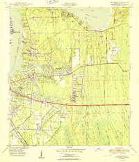
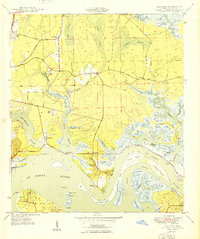
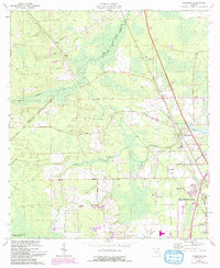
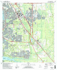
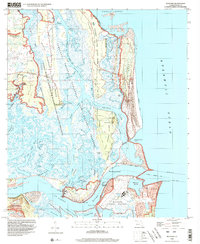
1950 Map of Arlington
USGS Topo · Published 1950This historical map portrays the area of Arlington in 1950, primarily covering Duval County. Featuring a scale of 1:24000, this map provides a highly detailed snapshot of the terrain, roads, buildings, counties, and historical landmarks in the Arlington region at the time. Published in 1950, it is one of 2 known editions of this map due to revisions or reprints.
Find a feature on this map
73 named features on this map. Tap any name to fly to it.
Don’t see what you’re looking for? This feature index may not catch every label — zoom into the map to look around manually.
Map Details
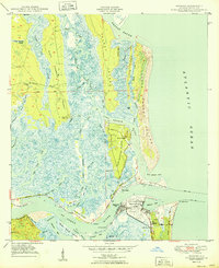
Editions of this 1950 Arlington Map
2 editions found
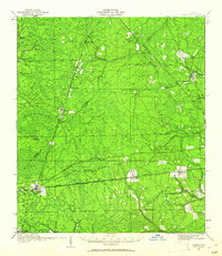
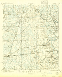
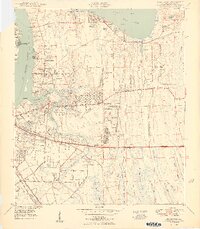
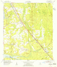
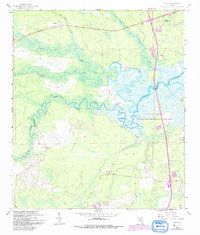
Historical Maps of Arlington Through Time
24 maps found
1917 Cambon
Duval County, FL
1918 Cambon
Duval County, FL

1918 Mayport
Duval County, FL

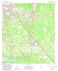
1948 Eastport
Duval County, FL
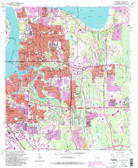
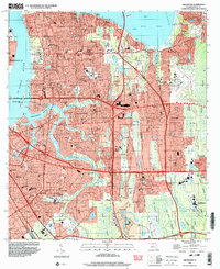
1950 Arlington
Duval County, FL
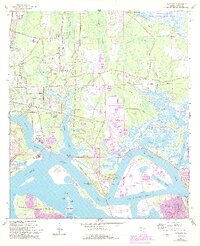
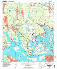
1950 Eastport
Duval County, FL
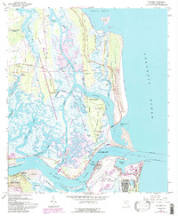
1950 Mayport
Duval County, FL

1950 Trout River
Duval County, FL
1952 Bayard
Duval County, FL
1958 Italia
Duval County, FL
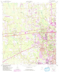
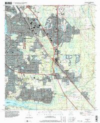
1963 Arlington
Duval County, FL
1964 Bayard
Duval County, FL
1964 Dinsmore
Duval County, FL
1964 Eastport
Duval County, FL
1964 Marietta
Duval County, FL
1964 Mayport
Duval County, FL
1964 Trout River
Duval County, FL
1993 Bayard
Duval County, FL
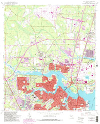
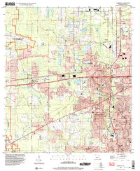
1994 Arlington
Duval County, FL
1994 Bayard
Duval County, FL
1994 Eastport
Duval County, FL
1994 Marietta
Duval County, FL
1994 Mayport
Duval County, FL
1994 Trout River
Duval County, FL
Featured Locations
- Jacksonville, FL
- Holiday Hill, Jacksonville
- Bridgewater, Jacksonville
- Newcastle, Jacksonville
- Hogan, Jacksonville