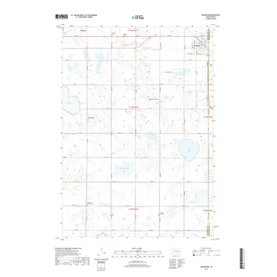
2017 Map of Arlington
USGS Topo · Published 2017About this map
Arlington and Hetland anchor this survey of the glacial upland known as the Coteau des Prairies. The landscape is defined by its numerous wetlands and depressions, including Lake Whitewood, the Twin Lakes, and Tenneboe Slough, which dot the agricultural grid. This 2017 edition records a deeply rooted rural community, evidenced by a high density of country burial grounds that tell the story of early settlement and religious life.
Find a feature on this map
39 named features on this map. Tap any name to fly to it.
Don’t see what you’re looking for? This feature index may not catch every label — zoom into the map to look around manually.
Map Details
Editions of this 2017 Arlington Map
This is the sole edition of this map. No revisions or reprints were ever made.
Other maps of this area

1953 · Watertown
USGS Topo · 1:250,000

1958 · Watertown
USGS Topo · 1:250,000

1968 · Lake Sinai
USGS Topo · 1:24,000

1968 · Lake Preston East
USGS Topo · 1:24,000

1968 · Lake Preston NE
USGS Topo · 1:24,000

1968 · Arlington
USGS Topo · 1:24,000

1968 · Arlington NE
USGS Topo · 1:24,000

1968 · Sinai
USGS Topo · 1:24,000

1968 · Oldham
USGS Topo · 1:24,000

1968 · Badger
USGS Topo · 1:24,000