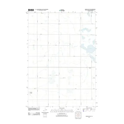
2012 Map of Arlington NE
USGS Topo · Published 2012About this map
Glacial wetlands and prairie potholes define this portion of Brookings County, where the landscape is organized by a precise grid of rural roads such as 199th St and 455th Ave. The hydrography of the region is centered on a series of significant water bodies including Lake Mitchell, Johnson Lake, Turtle Lake, and the expansive Moe Slough. These natural basins provided critical water sources for early agricultural settlers in Winsor Township.
Find a feature on this map
24 named features on this map. Tap any name to fly to it.
Don’t see what you’re looking for? This feature index may not catch every label — zoom into the map to look around manually.
Map Details
Editions of this 2012 Arlington NE Map
This is the sole edition of this map. No revisions or reprints were ever made.
Other maps of this area

1953 · Watertown
USGS Topo · 1:250,000

1958 · Watertown
USGS Topo · 1:250,000

1968 · Lake Sinai
USGS Topo · 1:24,000

1968 · Bruce
USGS Topo · 1:24,000

1968 · Arlington
USGS Topo · 1:24,000

1968 · Volga
USGS Topo · 1:24,000

1968 · Arlington NE
USGS Topo · 1:24,000

1968 · Badger
USGS Topo · 1:24,000

1969 · Lake Norden
USGS Topo · 1:24,000

1969 · Lake Poinsett
USGS Topo · 1:24,000