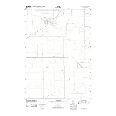
2010 Map of Arlington
USGS Topo · Published 2010About this map
Arlington serves as the primary hub of this agricultural landscape in Sibley County, defined by its grid of rural roads and the winding course of High Island Creek. The town's civic core is centered around the Arlington Post Office, while the northern edge features the Sibley County Fairground and the Arlington Raceway, indicating its role as a regional gathering place. The surrounding countryside reveals a legacy of early settlement and community centers, particularly evident in the distribution of family and parish burial grounds.
Find a feature on this map
33 named features on this map. Tap any name to fly to it.
Don’t see what you’re looking for? This feature index may not catch every label — zoom into the map to look around manually.
Map Details
Editions of this 2010 Arlington Map
This is the sole edition of this map. No revisions or reprints were ever made.
Other maps of this area

1953 · Saint Paul
USGS Topo · 1:250,000

1953 · New Ulm
USGS Topo · 1:250,000

1957 · New Ulm
USGS Topo · 1:250,000

1957 · Belle Plaine
USGS Topo · 1:62,500

1958 · New Ulm
USGS Topo · 1:250,000

1958 · Gaylord
USGS Topo · 1:62,500

1959 · Saint Paul
USGS Topo · 1:250,000

1965 · Norseland
USGS Topo · 1:24,000

1965 · New Sweden
USGS Topo · 1:24,000

1965 · Le Sueur
USGS Topo · 1:24,000