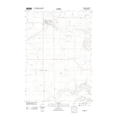
2013 Map of Arlington
USGS Topo · Published 2013About this map
Arlington serves as the primary hub in this agricultural landscape of Sibley County, organized around a traditional grid of streets like W Brooks St and E Dayton St. The town's civic character is anchored by the Sibley County Fairground, the Arlington Raceway, and the local Po. To the south lies the smaller settlement of New Rome, surrounded by a network of rural roads such as 280th St.
Find a feature on this map
61 named features on this map. Tap any name to fly to it.
Don’t see what you’re looking for? This feature index may not catch every label — zoom into the map to look around manually.
Map Details
Editions of this 2013 Arlington Map
This is the sole edition of this map. No revisions or reprints were ever made.
Other maps of this area

1953 · Saint Paul
USGS Topo · 1:250,000

1953 · New Ulm
USGS Topo · 1:250,000

1957 · New Ulm
USGS Topo · 1:250,000

1957 · Belle Plaine
USGS Topo · 1:62,500

1958 · New Ulm
USGS Topo · 1:250,000

1958 · Gaylord
USGS Topo · 1:62,500

1959 · Saint Paul
USGS Topo · 1:250,000

1965 · Norseland
USGS Topo · 1:24,000

1965 · New Sweden
USGS Topo · 1:24,000

1965 · Le Sueur
USGS Topo · 1:24,000