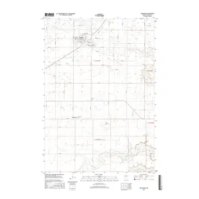
2016 Map of Arlington
USGS Topo · Published 2016About this map
Arlington serves as the primary hub in this portion of Sibley County, where a tidy grid of streets like W Chandler St and Henderson Rd centers on the local community. The landscape is defined by its agricultural layout and the intricate drainage of the Minnesota River basin, characterized by High Island Cr and the structured path of High Island Ditch Number Five. These watercourses reflect the 20th-century engineering required to manage the prairie wetlands for farming.
Find a feature on this map
61 named features on this map. Tap any name to fly to it.
Don’t see what you’re looking for? This feature index may not catch every label — zoom into the map to look around manually.
Map Details
Editions of this 2016 Arlington Map
This is the sole edition of this map. No revisions or reprints were ever made.
Other maps of this area

1953 · Saint Paul
USGS Topo · 1:250,000

1953 · New Ulm
USGS Topo · 1:250,000

1957 · New Ulm
USGS Topo · 1:250,000

1957 · Belle Plaine
USGS Topo · 1:62,500

1958 · New Ulm
USGS Topo · 1:250,000

1958 · Gaylord
USGS Topo · 1:62,500

1959 · Saint Paul
USGS Topo · 1:250,000

1965 · Norseland
USGS Topo · 1:24,000

1965 · New Sweden
USGS Topo · 1:24,000

1965 · Le Sueur
USGS Topo · 1:24,000