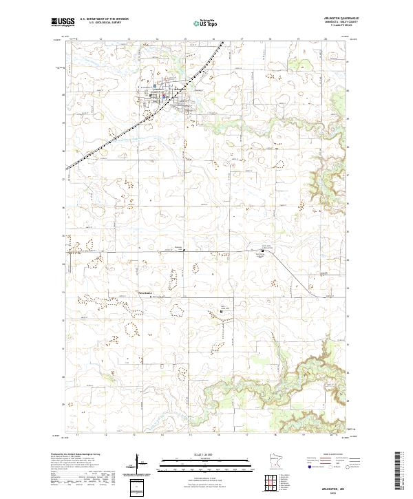
2022 Map of Arlington
USGS Topo · Published 2022About this map
Arlington serves as the primary hub of this Sibley County landscape, where an orderly grid of streets like W Chandler St and Henderson Rd gives way to the winding waterways of the Minnesota river valley. The area's agricultural and spiritual foundations are evident in the numerous burial grounds scattered across the townships, including Saint Pauls Cem near the town center and rural sites such as Saint Johns Lutheran Cem and Ebenezer Cem.
Find a feature on this map
50 named features on this map. Tap any name to fly to it.
Don’t see what you’re looking for? This feature index may not catch every label — zoom into the map to look around manually.
Map Details
Editions of this 2022 Arlington Map
This is the sole edition of this map. No revisions or reprints were ever made.
Other maps of this area

1953 · Saint Paul
USGS Topo · 1:250,000

1953 · New Ulm
USGS Topo · 1:250,000

1957 · New Ulm
USGS Topo · 1:250,000

1957 · Belle Plaine
USGS Topo · 1:62,500

1958 · New Ulm
USGS Topo · 1:250,000

1958 · Gaylord
USGS Topo · 1:62,500

1959 · Saint Paul
USGS Topo · 1:250,000

1965 · Norseland
USGS Topo · 1:24,000

1965 · New Sweden
USGS Topo · 1:24,000

1965 · Le Sueur
USGS Topo · 1:24,000