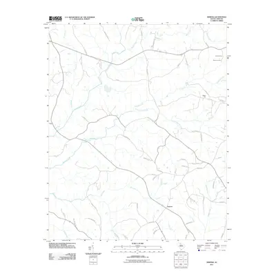
2011 Map of Armenia
USGS Topo · Published 2011About this map
Armenia sits at the intersection of a complex creek network in this part of Chester County, defined by the winding paths of Susybole Creek and its tributary Little Susybole Creek. The landscape transition near Bulls Hill is marked by a mix of agricultural fields and woodlands, with several primary drainage systems like Mill Creek and Turkey Creek carving through the terrain.
Find a feature on this map
57 named features on this map. Tap any name to fly to it.
Don’t see what you’re looking for? This feature index may not catch every label — zoom into the map to look around manually.
Map Details
Editions of this 2011 Armenia Map
This is the sole edition of this map. No revisions or reprints were ever made.
Other maps of this area

1907 · Sharon
USGS Topo · 1:62,500

1941 · Spartanburg
USGS Topo · 1:250,000

1949 · Rock Hill
USGS Topo · 1:62,500

1953 · Spartanburg
USGS Topo · 1:250,000

1960 · Spartanburg
USGS Topo · 1:250,000

1963 · Spartanburg
USGS Topo · 1:250,000

1964 · Spartanburg
USGS Topo · 1:250,000

1969 · Baton Rouge
USGS Topo · 1:24,000
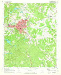
1969 · Chester
USGS Topo · 1:24,000
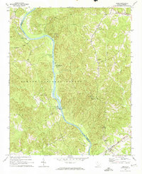
1969 · Leeds
USGS Topo · 1:24,000