2021 Map of Armour
USGS Topo · Published 2021About this map
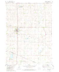
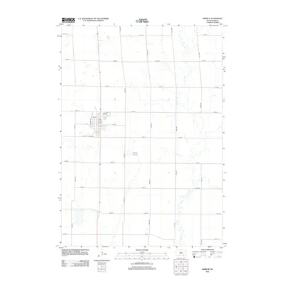
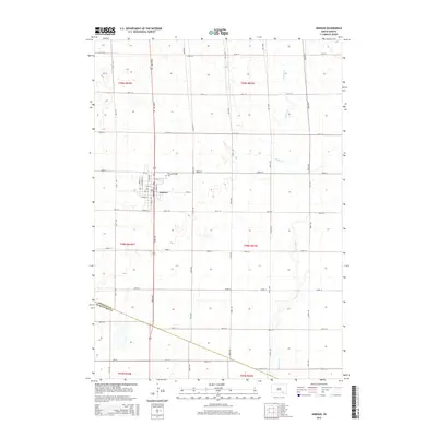
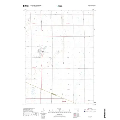
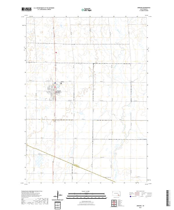
Armour serves as the focal point of this South Dakota landscape, where the Douglas County Courthouse stands at the center of a grid defined by Main St and Braddock St. The town's organization is remarkably precise, with residential and commercial streets such as Lumley St and Henderson St giving way to the vast agricultural sections that define the region. To the northeast of the town center lies Pleasant Ridge Cem, a site of significant genealogical interest for those tracing early settlers in Douglas County.
Find a feature on this map
44 named features on this map. Tap any name to fly to it.
Don’t see what you’re looking for? This feature index may not catch every label — zoom into the map to look around manually.
Map Details
Editions of this 2021 Armour Map
This is the sole edition of this map. No revisions or reprints were ever made.
Historical Maps of Armour Through Time
5 maps found