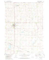
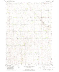
1979 Map of Armour
USGS Topo · Published 1980About this map
Armour serves as the primary hub of this Douglas County landscape, surveyed in the late 1970s. The town’s grid is anchored by an Armour Landing Strip and a nearby Picnic Area, while the surrounding prairie is divided into township sections such as Chester, Independence, and Howard. To the north, the Grandview Valley transitions into a dedicated National Waterfowl Production Area, reflecting the region’s importance for conservation and habitat management.
Find a feature on this map
16 named features on this map. Tap any name to fly to it.
Don’t see what you’re looking for? This feature index may not catch every label — zoom into the map to look around manually.
Map Details
Editions of this 1979 Armour Map
This is the sole edition of this map. No revisions or reprints were ever made.
Other maps of this area

1955 · Mitchell
USGS Topo · 1:250,000

1959 · Mitchell
USGS Topo · 1:250,000

1964 · Wagner NE
USGS Topo · 1:24,000

1964 · Ravinia
USGS Topo · 1:24,000
1977 · Wagner NE
USGS Topo · 1:24,000
1978 · Greenwood Colony
USGS Topo · 1:24,000

1979 · Delmont
USGS Topo · 1:24,000
1979 · Armour SW
USGS Topo · 1:24,000
1979 · Hillside
USGS Topo · 1:24,000

1980 · Corsica Lake
USGS Topo · 1:24,000