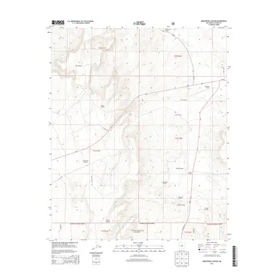
2013 Map of Armstrong Canyon
USGS Topo · Published 2013About this map
Apache National Forest lands dominate the southern expanse of this high-altitude landscape in western Catron County. The terrain is defined by a network of drainage systems, including the prominent Largo Cr and its tributaries which carve through Armstrong Canyon, Dark Canyon, and French Canyon. This topography reveals an era of ranching and remote infrastructure, evidenced by the scattered presence of named water-drawing sites like the Hollingsworth Windmill, Allison Windmill, and Caudill Windmill. Transportation is anchored by Us-60, which bisects the northern half of the area, providing access to the Quemado Airport and connecting with rural routes like NM-32 and NM-601. The map illustrates the sparse settlement pattern and resource management of the region, where seasonal water sources such as North Tank and Spring Canyon are essential landmarks.
Find a feature on this map
30 named features on this map. Tap any name to fly to it.
Don’t see what you’re looking for? This feature index may not catch every label — zoom into the map to look around manually.
Map Details
Editions of this 2013 Armstrong Canyon Map
This is the sole edition of this map. No revisions or reprints were ever made.
Other maps of this area

1954 · Saint Johns
USGS Topo · 1:250,000

1957 · Saint Johns
USGS Topo · 1:250,000

1958 · Saint Johns
USGS Topo · 1:250,000

1962 · Saint Johns
USGS Topo · 1:250,000

1967 · Mariano Springs
USGS Topo · 1:24,000

1967 · Quemado
USGS Topo · 1:24,000

1972 · Lake Armijo
USGS Topo · 1:24,000

1972 · Tejana Mesa
USGS Topo · 1:24,000
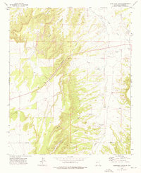
1972 · Armstrong Canyon
USGS Topo · 1:24,000
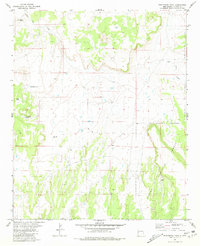
1981 · Ponderosa Tank
USGS Topo · 1:24,000