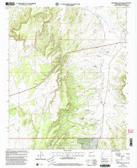
1999 Map of Armstrong Canyon
USGS Topo · Published 2002About this map
Armstrong Canyon and the surrounding drainage basins of Largo Creek define this high-desert landscape in Catron County during the late 20th century. The terrain is marked by a network of seasonal watercourses and topographic features including Dark Canyon, Amen Canyon, and French Canyon. Evidence of land use is scattered throughout, notably at the Graves location and various water management sites like Allison Windmill, Middle Windmill, and Cottonwood Windmill. A portion of the Apache National Forest occupies the southern reach of the map, intersected by the New Mexico Base Line. Transportation and infrastructure are represented by the Quemado Airfield and a prominent Communication Tower near Roadside Park. This survey, revised at the turn of the millennium, illustrates the critical importance of water sources in the arid West through its documentation of numerous windmills and tanks across the drainage of Rito Creek.
Find a feature on this map
21 named features on this map. Tap any name to fly to it.
Don’t see what you’re looking for? This feature index may not catch every label — zoom into the map to look around manually.
Map Details
Editions of this 1999 Armstrong Canyon Map
This is the sole edition of this map. No revisions or reprints were ever made.
Other maps of this area

1954 · Saint Johns
USGS Topo · 1:250,000

1957 · Saint Johns
USGS Topo · 1:250,000

1958 · Saint Johns
USGS Topo · 1:250,000

1962 · Saint Johns
USGS Topo · 1:250,000

1967 · Mariano Springs
USGS Topo · 1:24,000

1967 · Quemado
USGS Topo · 1:24,000

1972 · Lake Armijo
USGS Topo · 1:24,000

1972 · Tejana Mesa
USGS Topo · 1:24,000
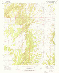
1972 · Armstrong Canyon
USGS Topo · 1:24,000
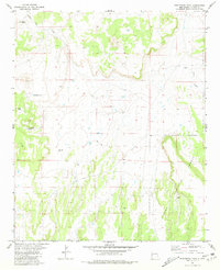
1981 · Ponderosa Tank
USGS Topo · 1:24,000