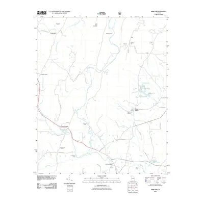
2011 Map of Armuchee
USGS Topo · Published 2011About this map
Little Sand Mountain dominates the center of this terrain, dividing the landscape into several distinct valleys where small communities and family farmsteads took root. The settlement pattern is defined by the corridors of Dirttown Valley and Haywood Valley, where the waters of Armuchee Creek and its various forks provide the primary drainage. Genealogy researchers will find significant value in the distribution of family-named landmarks and resting places, such as the Anderson Cemetery and Earle Cemetery.
Find a feature on this map
49 named features on this map. Tap any name to fly to it.
Don’t see what you’re looking for? This feature index may not catch every label — zoom into the map to look around manually.
Map Details
Editions of this 2011 Armuchee Map
This is the sole edition of this map. No revisions or reprints were ever made.
Other maps of this area

1886 · Ringgold
USGS Topo · 1:125,000

1886 · Rome
USGS Topo · 1:125,000

1892 · Ringgold
USGS Topo · 1:125,000

1898 · Rome
USGS Topo · 1:125,000

1899 · Rome
USGS Topo · 1:125,000

1904 · Rome
USGS Topo · 1:125,000

1955 · Rome
USGS Topo · 1:250,000

1958 · Rome
USGS Topo · 1:250,000

1961 · Rome
USGS Topo · 1:250,000

1963 · Rome
USGS Topo · 1:250,000