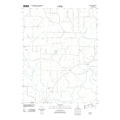
2010 Map of Arney
USGS Topo · Published 2010About this map
Point Commerce and the northern edge of Worthington sit at the confluence of the Eel River and White River, a landscape defined by its waterways and agricultural flats in Greene County. This 2010 topographic survey documents the river-dependent geography of southern Indiana, where the Farmers Ferry still marks a crossing point over the White River near the small settlement of Farmers. The terrain rises to the north toward Arney, broken by ridges such as Dillon Hill and Need Hill, while the lowlands are drained by a network of creeks including Beech Creek and Lick Creek.
Find a feature on this map
87 named features on this map. Tap any name to fly to it.
Don’t see what you’re looking for? This feature index may not catch every label — zoom into the map to look around manually.
Map Details
Editions of this 2010 Arney Map
This is the sole edition of this map. No revisions or reprints were ever made.
Other maps of this area

1908 · Clay City
USGS Topo · 1:48,000

1908 · Bloomfield
USGS Topo · 1:62,500

1910 · Clay City
USGS Topo · 1:62,500

1938 · Coal City
USGS Topo · 1:24,000

1938 · Switz City
USGS Topo · 1:24,000

1947 · Switz City
USGS Topo · 1:24,000

1948 · Coal City
USGS Topo · 1:24,000

1950 · Arney
USGS Topo · 1:24,000

1950 · Switz City
USGS Topo · 1:24,000

1951 · Bloomfield
USGS Topo · 1:24,000