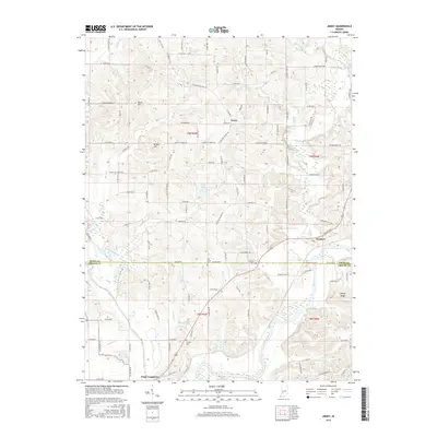
2016 Map of Arney
USGS Topo · Published 2016About this map
Arney and the surrounding rural landscapes of the Indiana heartland are documented here, situated along the county line between Owen Co and Greene Co. The landscape is defined by the convergence of major waterways, where the Eel River meets the White River near the historic site of Point Commerce. This area, once a significant river landing and pioneer crossroads, retains much of its original agricultural character, with topography rising from the river bottoms to elevated points like Dillon Hill and Kelley Ridge. Local history and genealogy are anchored by several scattered burial grounds, including the Fiscus Cemetary in the north and Griffith Cem near the river junction. The road network, largely following section lines and historic paths like the Steubenville-Amey Rd, connects smaller clusters such as Farmers and Need Hill, illustrating the enduring settlement patterns of rural Indiana.
Find a feature on this map
119 named features on this map. Tap any name to fly to it.
Don’t see what you’re looking for? This feature index may not catch every label — zoom into the map to look around manually.
Map Details
Editions of this 2016 Arney Map
This is the sole edition of this map. No revisions or reprints were ever made.
Other maps of this area

1908 · Clay City
USGS Topo · 1:48,000

1908 · Bloomfield
USGS Topo · 1:62,500

1910 · Clay City
USGS Topo · 1:62,500

1938 · Coal City
USGS Topo · 1:24,000

1938 · Switz City
USGS Topo · 1:24,000

1947 · Switz City
USGS Topo · 1:24,000

1948 · Coal City
USGS Topo · 1:24,000

1950 · Arney
USGS Topo · 1:24,000

1950 · Switz City
USGS Topo · 1:24,000

1951 · Bloomfield
USGS Topo · 1:24,000