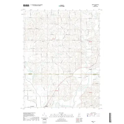
2019 Map of Arney
USGS Topo · Published 2019About this map
Worthington and the historic river landing of Point Commerce sit at the confluence of the Eel River and the White River in this modern survey of the Greene and Owen county line. The landscape is defined by the winding paths of these waterways and the high ground of Kelley Ridge and Need Hill. Local history is preserved through the locations of rural burials at Oak Grove Cem, Williams Cem, and the Fiscus Cemetary near the northern boundary. Smaller settlements such as Arney and Farmers are connected by a network of rural routes like Farmers Ferry Rd, which reflects the traditional river-oriented transit of the region. Notable local landmarks including Salter Lake and Dyer Lake are nestled among the numerous creek drainages that feed the primary river systems.
Find a feature on this map
67 named features on this map. Tap any name to fly to it.
Don’t see what you’re looking for? This feature index may not catch every label — zoom into the map to look around manually.
Map Details
Editions of this 2019 Arney Map
This is the sole edition of this map. No revisions or reprints were ever made.
Other maps of this area

1908 · Clay City
USGS Topo · 1:48,000

1908 · Bloomfield
USGS Topo · 1:62,500

1910 · Clay City
USGS Topo · 1:62,500

1938 · Coal City
USGS Topo · 1:24,000

1938 · Switz City
USGS Topo · 1:24,000

1947 · Switz City
USGS Topo · 1:24,000

1948 · Coal City
USGS Topo · 1:24,000

1950 · Arney
USGS Topo · 1:24,000

1950 · Switz City
USGS Topo · 1:24,000

1951 · Bloomfield
USGS Topo · 1:24,000