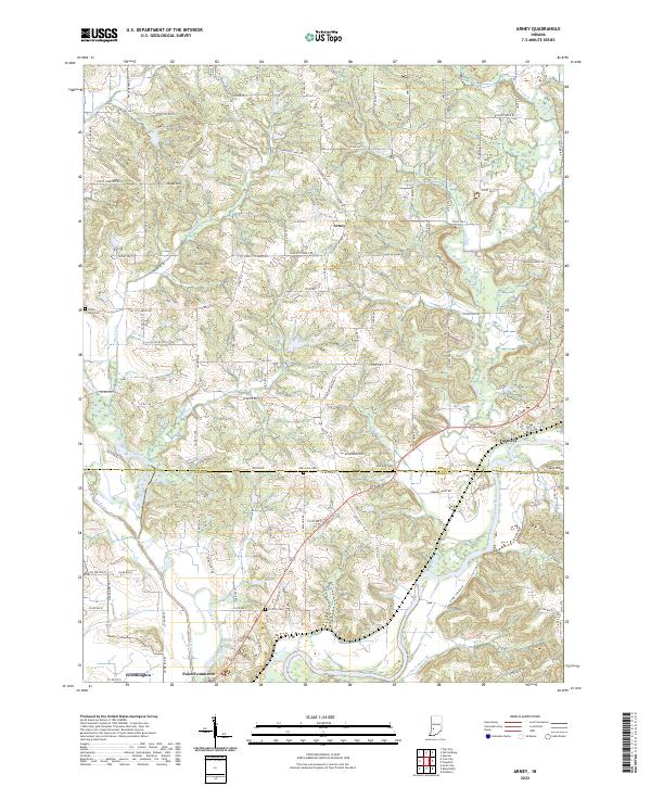
2022 Map of Arney
USGS Topo · Published 2022About this map
Worthington and the historic site of Point Commerce anchor the southwestern corner of this West Central Indiana landscape, where the confluence of the Eel River and the White River has long shaped local movement. This contemporary survey captures the intricate drainage patterns of the White River valley, marked by features such as Dead Horse Br and Jim Cr, alongside small rural settlements like Arney and Farmers.
Find a feature on this map
118 named features on this map. Tap any name to fly to it.
Don’t see what you’re looking for? This feature index may not catch every label — zoom into the map to look around manually.
Map Details
Editions of this 2022 Arney Map
This is the sole edition of this map. No revisions or reprints were ever made.
Other maps of this area

1908 · Clay City
USGS Topo · 1:48,000

1908 · Bloomfield
USGS Topo · 1:62,500

1910 · Clay City
USGS Topo · 1:62,500

1938 · Coal City
USGS Topo · 1:24,000

1938 · Switz City
USGS Topo · 1:24,000

1947 · Switz City
USGS Topo · 1:24,000

1948 · Coal City
USGS Topo · 1:24,000

1950 · Arney
USGS Topo · 1:24,000

1950 · Switz City
USGS Topo · 1:24,000

1951 · Bloomfield
USGS Topo · 1:24,000