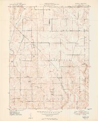
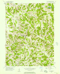
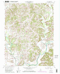
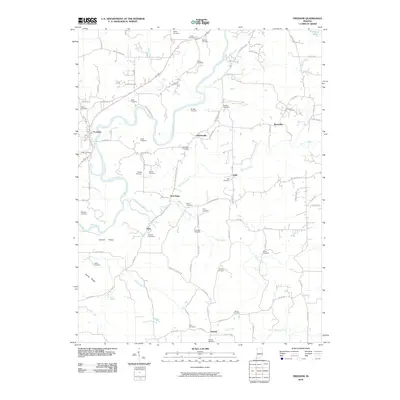
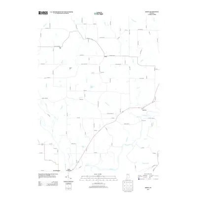
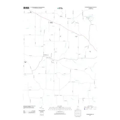
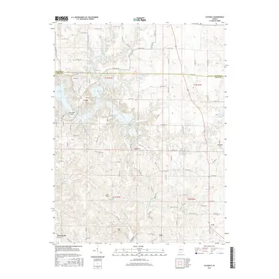
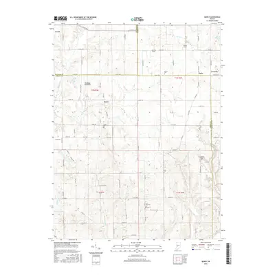
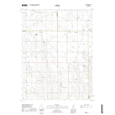
1950 Map of Arney
USGS Topo · Published 1950About this map
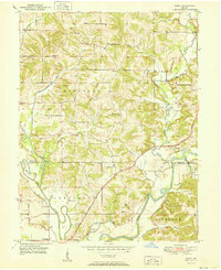
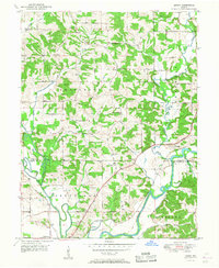
Eel River and White River converge at the southern boundary of this Owen and Greene County border region, creating a landscape defined by sharp oxbows and fertile bottoms. The settlement of Point Commerce sits at this significant river junction just north of Worthington, while the namesake hamlet of Arney serves as a central point for the upland farming communities. Evidence of early mid-century rural life is visible in the numerous country churches and family burial grounds, including Dutch Bethel Ch and the Harrison Cem. The transit infrastructure of the era is anchored by the Harrison Memorial Highway and the Pennsylvania Railroad, which follows the river course. Notably, the map records Farmers Ferry operating across the White River, a vital local link before modern bridge networks became ubiquitous. High ground is marked by prominent elevations such as Need Hill and Dillon Hill, which rise above the creek valleys of Beech Creek and Fish Creek.
Find a feature on this map
40 named features on this map. Tap any name to fly to it.
Don’t see what you’re looking for? This feature index may not catch every label — zoom into the map to look around manually.
Map Details
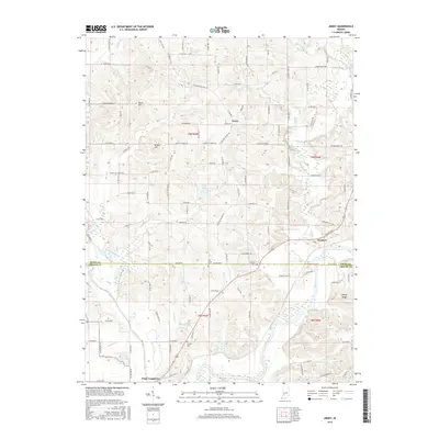
Editions of this 1950 Arney Map
2 editions found
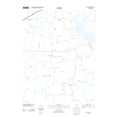
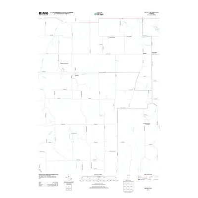
Historical Maps of Worthington Through Time
47 maps found
1938 Coal City
Owen County, IN
1948 Coal City
Owen County, IN
1949 Quincy
Owen County, IN
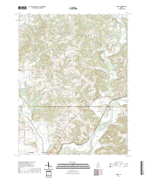
1950 Arney
Owen County, IN
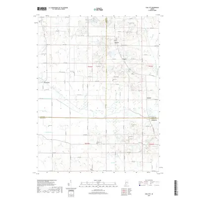
1953 Coal City
Owen County, IN
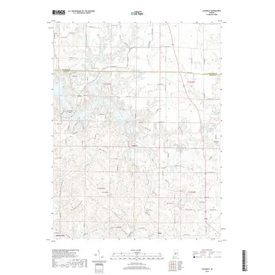
1956 Cataract
Owen County, IN
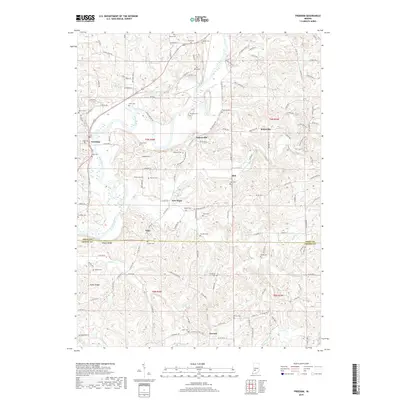
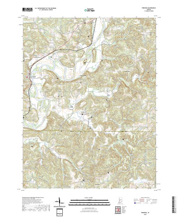
1956 Freedom
Owen County, IN
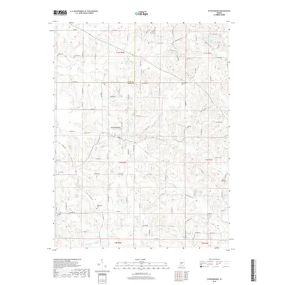
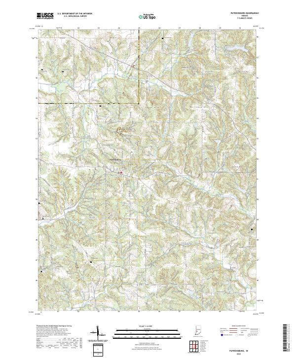
1956 Patricksburg
Owen County, IN
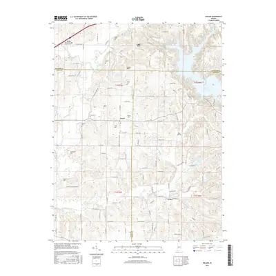
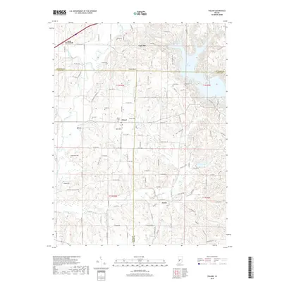
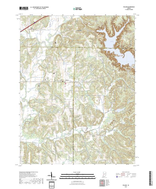
1957 Poland
Owen County, IN
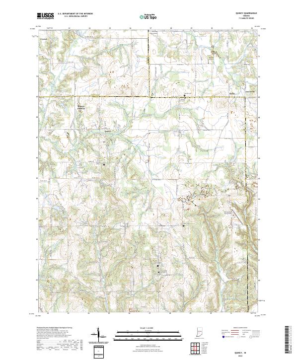
1958 Quincy
Owen County, IN
1963 Coal City
Owen County, IN
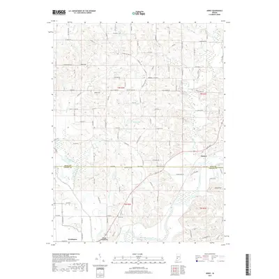
1966 Arney
Owen County, IN
2010 Arney
Owen County, IN
2010 Cataract
Owen County, IN
2010 Coal City
Owen County, IN
2010 Freedom
Owen County, IN
2010 Patricksburg
Owen County, IN
2010 Poland
Owen County, IN
2010 Quincy
Owen County, IN
2013 Arney
Owen County, IN
2013 Cataract
Owen County, IN
2013 Coal City
Owen County, IN
2013 Freedom
Owen County, IN
2013 Patricksburg
Owen County, IN
2013 Poland
Owen County, IN
2013 Quincy
Owen County, IN
2016 Arney
Owen County, IN
2016 Cataract
Owen County, IN
2016 Coal City
Owen County, IN
2016 Freedom
Owen County, IN
2016 Patricksburg
Owen County, IN
2016 Poland
Owen County, IN
2016 Quincy
Owen County, IN
2019 Arney
Owen County, IN
2019 Cataract
Owen County, IN
2019 Coal City
Owen County, IN
2019 Freedom
Owen County, IN
2019 Patricksburg
Owen County, IN
2019 Poland
Owen County, IN
2019 Quincy
Owen County, IN
2022 Arney
Owen County, IN
2022 Cataract
Owen County, IN
2022 Coal City
Owen County, IN
2022 Freedom
Owen County, IN
2022 Patricksburg
Owen County, IN
2022 Poland
Owen County, IN
2022 Quincy
Owen County, IN