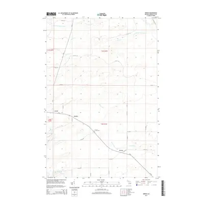
2014 Map of Arnold
USGS Topo · Published 2014About this map
Arnold and the surrounding timber and wetland terrain of Marquette County define this landscape, where the Little W Br Escanaba River and the main Escanaba River drainage systems converge. The settlement pattern is anchored by the corridor of CR-426, which links the hamlets of Mashek and Watson in the southern half of the sheet. Notable for genealogists, the Forest Home Cem is situated along this central roadway, providing a specific point of interest for local family histories. The hydrologic network is particularly dense here, featuring Hunters Brook, Lone Pine Cr, and the Ford River in the southwestern corner. The map illustrates a remote section of the Upper Peninsula where the grid of county roads, such as Co Road Sah and Leighton Rd, navigates around numerous small tributaries and complex topography.
Find a feature on this map
34 named features on this map. Tap any name to fly to it.
Don’t see what you’re looking for? This feature index may not catch every label — zoom into the map to look around manually.
Map Details
Editions of this 2014 Arnold Map
This is the sole edition of this map. No revisions or reprints were ever made.
Other maps of this area

1932 · Helena NW
USGS Topo · 1:31,680

1932 · Helena NE
USGS Topo · 1:31,680

1932 · Whitney NE
USGS Topo · 1:31,680

1932 · Helena SW
USGS Topo · 1:31,680

1932 · Helena
USGS Topo · 1:31,680

1951 · Helena SW
USGS Topo · 1:31,680

1951 · Helena
USGS Topo · 1:31,680

1951 · Helena NE
USGS Topo · 1:31,680

1951 · Helena NW
USGS Topo · 1:31,680

1954 · Escanaba
USGS Topo · 1:250,000