2022 Map of Arnott
USGS Topo · Published 2022About this map
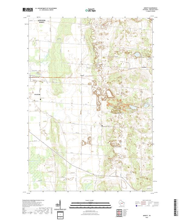
Arnott and Fancher anchor this rural portion of Portage County, where the agricultural landscape meets the glacial remnants of the Oak Moraine. The map documents a complex drainage and water system including the Little Plover River, Bear Lake, and the engineered waterways of Isherwood Lateral and Ditch Number Three. Genealogists will find significant value in the documentation of local burial grounds, including Saint Mary of Mount Carmel Cem, Morrill Cem, and Lombard Cem. The transition from old transit corridors to modern recreation is evident in the Tomorrow River State Trl, which cuts a path across the township lines. Residential growth is visible at the margins near Stevens Point and Plover, while the central terrain remains defined by local landmarks like Oak Ridge and several small, clustered lakes such as Thomas Lake and Adams Lake.
Find a feature on this map
71 named features on this map. Tap any name to fly to it.
Don’t see what you’re looking for? This feature index may not catch every label — zoom into the map to look around manually.
Map Details
Editions of this 2022 Arnott Map
This is the sole edition of this map. No revisions or reprints were ever made.
Historical Maps of Arnott Through Time
12 maps found
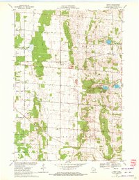
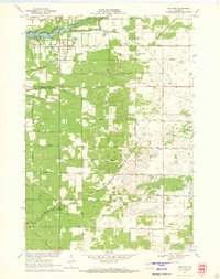
1969 Arnott
Portage County, WI
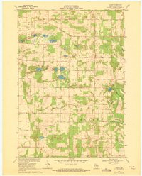
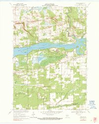
1969 Blaine
Portage County, WI
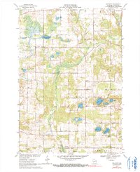
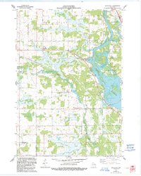
1969 New Hope
Portage County, WI
1970 Kellner
Portage County, WI
1970 Meehan
Portage County, WI
1970 Rocky Run
Portage County, WI
2022 Arnott
Portage County, WI
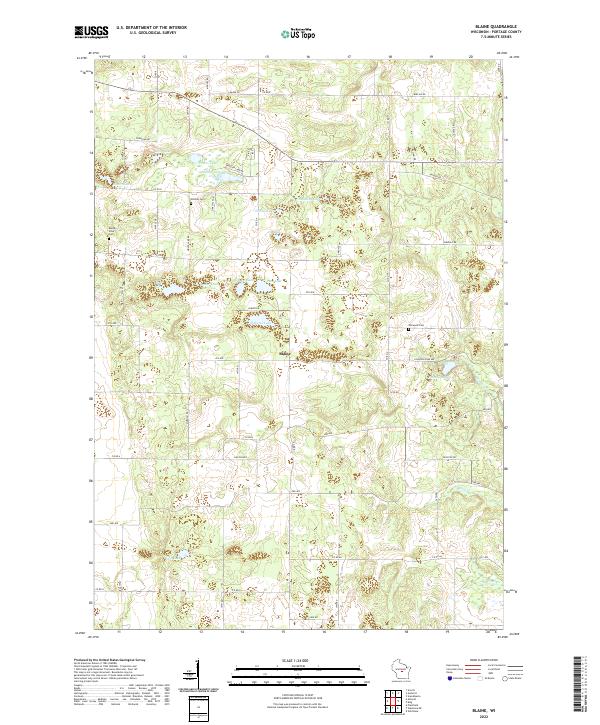
2022 Blaine
Portage County, WI
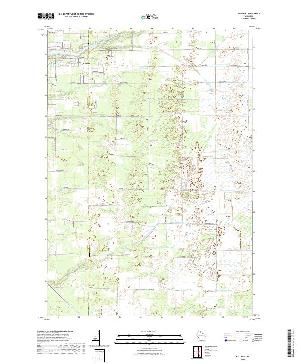
2022 Kellner
Portage County, WI
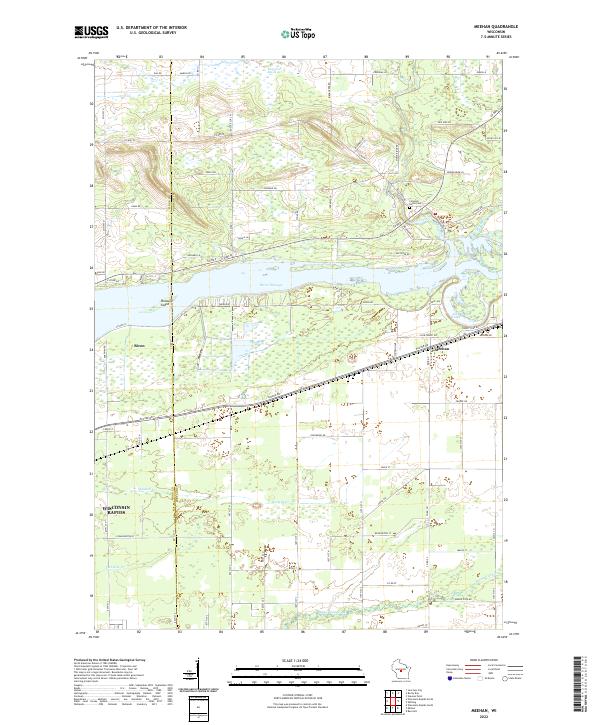
2022 Meehan
Portage County, WI
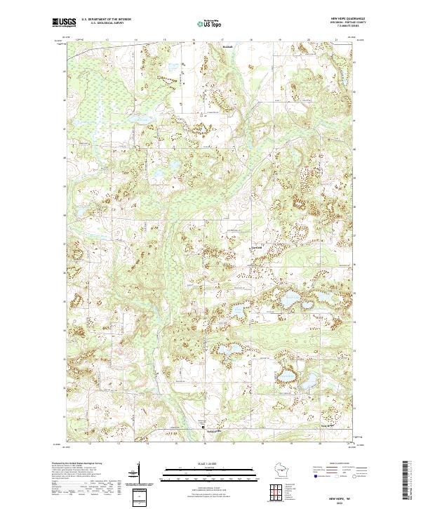
2022 New Hope
Portage County, WI
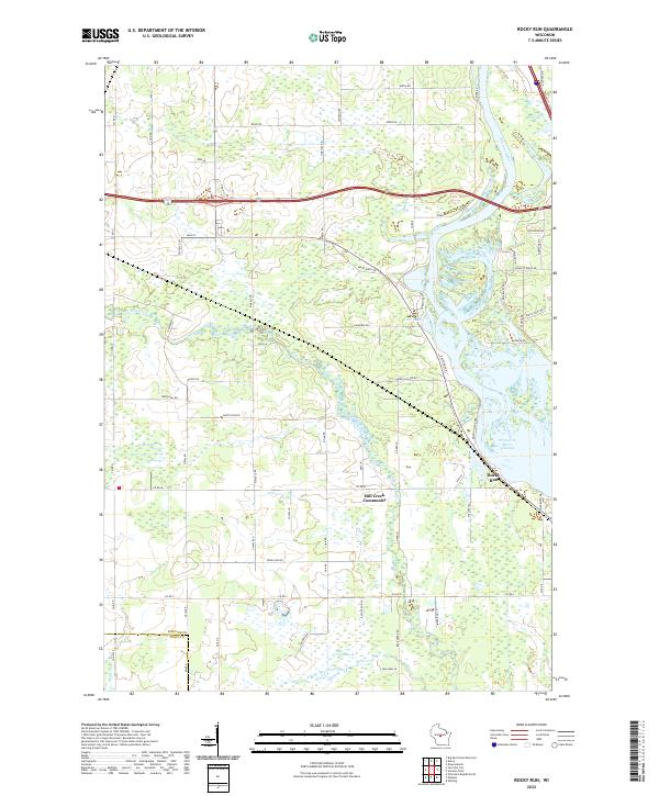
2022 Rocky Run
Portage County, WI