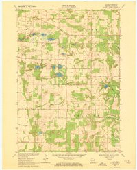
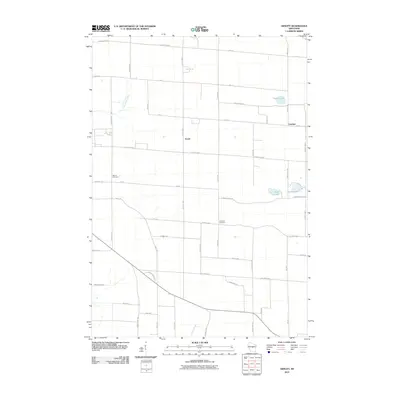
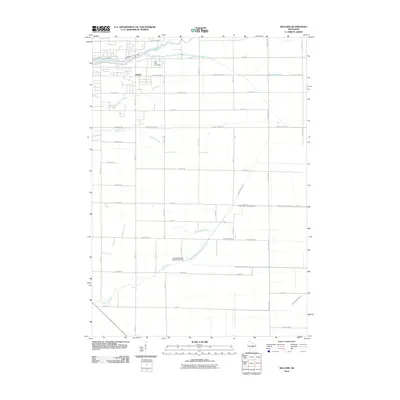
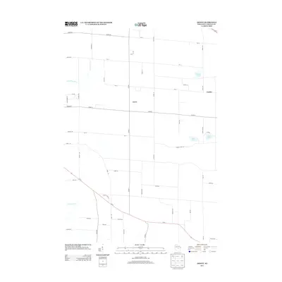
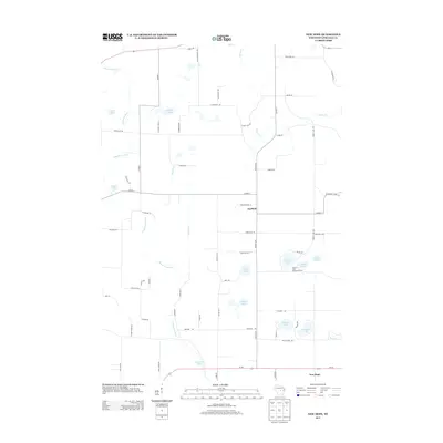
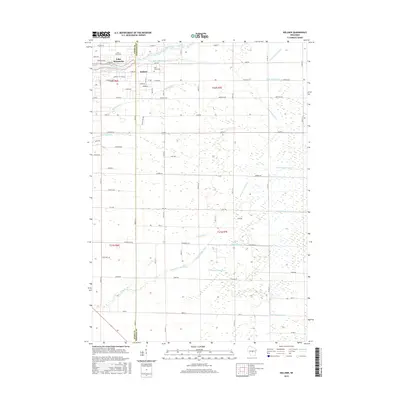
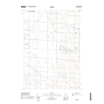
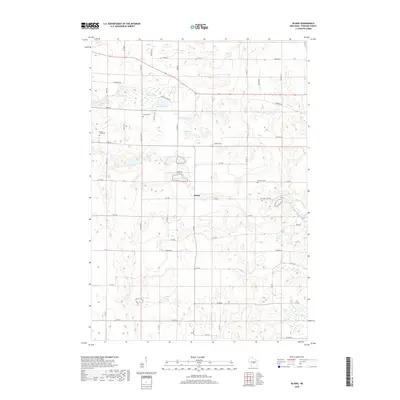
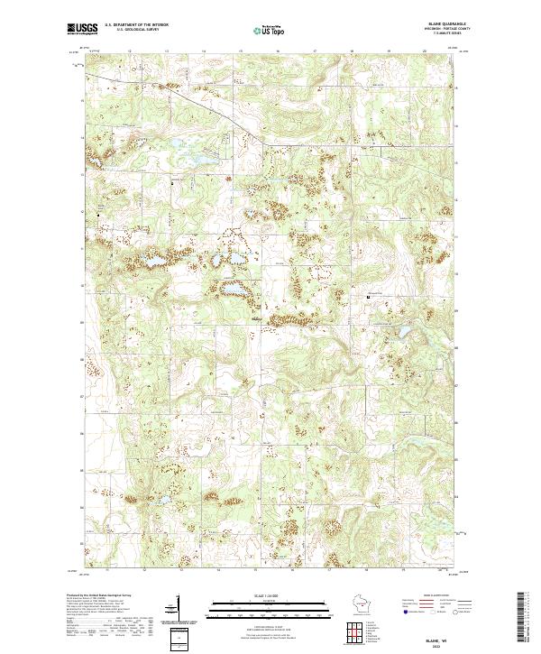
1969 Map of Blaine
USGS Topo · Published 1972About this map
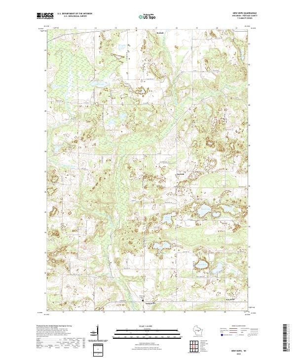
Glacial topography and a dense network of kettle lakes define this corner of Portage County, where the small settlement of Blaine serves as a central landmark. The landscape is etched with the remnants of the ice age, featuring a cluster of water bodies including Wolf Lake, Boelter Lake, and Fountain Lake. Local history and genealogy are anchored by scattered rural institutions such as St Patricks Ch and several burial grounds, including Hillside Cem and Buena Vista Cem.
Find a feature on this map
35 named features on this map. Tap any name to fly to it.
Don’t see what you’re looking for? This feature index may not catch every label — zoom into the map to look around manually.
Map Details
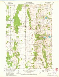
Editions of this 1969 Blaine Map
This is the sole edition of this map. No revisions or reprints were ever made.
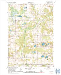
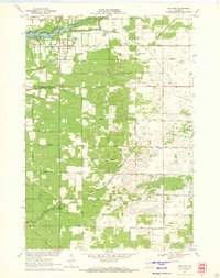
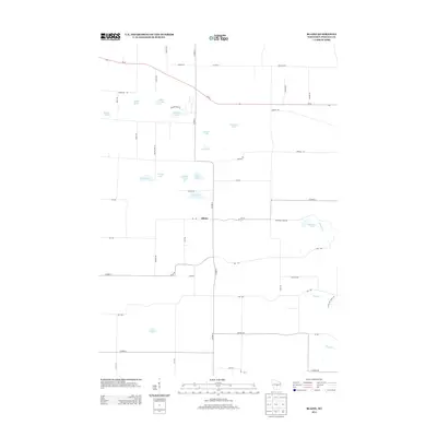
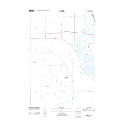
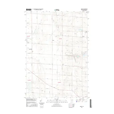
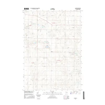
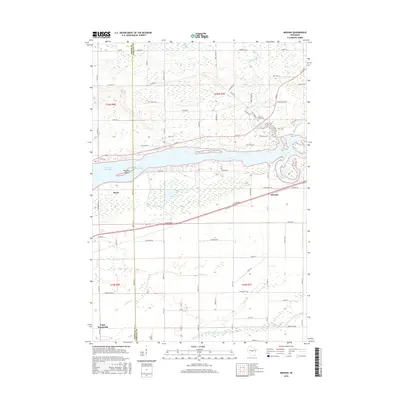
Historical Maps of Belmont Through Time
36 maps found
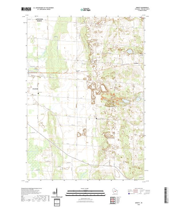
1969 Arnott
Portage County, WI
1969 Blaine
Portage County, WI
1969 New Hope
Portage County, WI
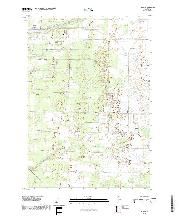
1970 Kellner
Portage County, WI
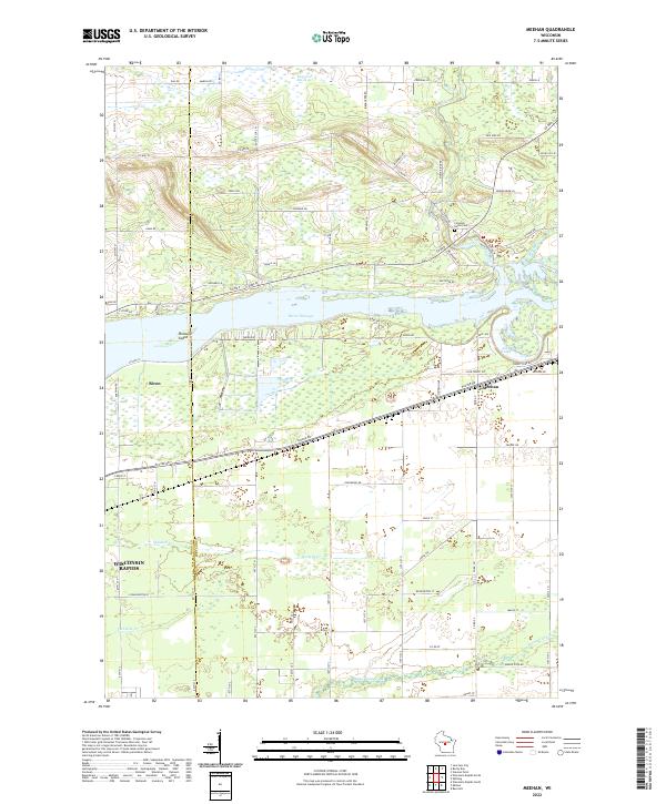
1970 Meehan
Portage County, WI
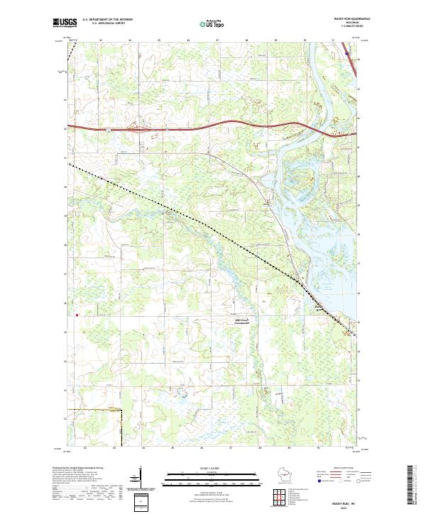
1970 Rocky Run
Portage County, WI
2010 Arnott
Portage County, WI
2010 Blaine
Portage County, WI
2010 Kellner
Portage County, WI
2010 Meehan
Portage County, WI
2010 New Hope
Portage County, WI
2010 Rocky Run
Portage County, WI
2013 Arnott
Portage County, WI
2013 Blaine
Portage County, WI
2013 Kellner
Portage County, WI
2013 Meehan
Portage County, WI
2013 New Hope
Portage County, WI
2013 Rocky Run
Portage County, WI
2015 Arnott
Portage County, WI
2015 Blaine
Portage County, WI
2015 Kellner
Portage County, WI
2015 Meehan
Portage County, WI
2015 New Hope
Portage County, WI
2015 Rocky Run
Portage County, WI
2018 Arnott
Portage County, WI
2018 Blaine
Portage County, WI
2018 Kellner
Portage County, WI
2018 Meehan
Portage County, WI
2018 New Hope
Portage County, WI
2018 Rocky Run
Portage County, WI
2022 Arnott
Portage County, WI
2022 Blaine
Portage County, WI
2022 Kellner
Portage County, WI
2022 Meehan
Portage County, WI
2022 New Hope
Portage County, WI
2022 Rocky Run
Portage County, WI