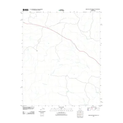
2011 Map of Arrastra Mountain NE
USGS Topo · Published 2011About this map
Olea Ranch stands as a primary point of human settlement in this high-desert landscape of Yavapai County, where life is dictated by the availability of water. The terrain is defined by the winding course of Placeritas Creek and Peeples Creek, which are supplemented by numerous localized water sources including Little Trough Spring, Johns Spring, and Negro Ben Spring. This network of springs suggests a reliance on small, reliable water points for livestock and ranching operations in an otherwise arid environment. Transportation through the area is limited to the winding path of Burro Creek Rd, which navigates the complex drainages and elevation changes characteristic of this portion of the Arrastra Mountain vicinity.
Find a feature on this map
10 named features on this map. Tap any name to fly to it.
Don’t see what you’re looking for? This feature index may not catch every label — zoom into the map to look around manually.
Map Details
Editions of this 2011 Arrastra Mountain NE Map
This is the sole edition of this map. No revisions or reprints were ever made.
Other maps of this area

1923 · Signal
USGS Topo · 1:250,000

1942 · Signal
USGS Topo · 1:250,000

1945 · Bagdad
USGS Topo · 1:62,500

1948 · Bagdad
USGS Topo · 1:62,500

1950 · Prescott
USGS Topo · 1:250,000

1954 · Prescott
USGS Topo · 1:250,000

1958 · Prescott
USGS Topo · 1:250,000

1959 · Prescott
USGS Topo · 1:250,000

1960 · Prescott
USGS Topo · 1:250,000

1965 · Prescott
USGS Topo · 1:250,000