
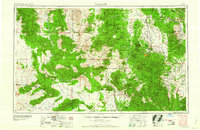
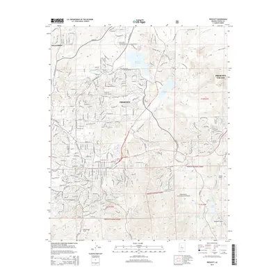
1960 Map of Prescott
USGS Topo · Published 1960About this map
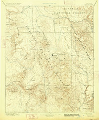
Prescott serves as the central hub of this 1960 regional survey, showing a landscape defined by mining operations and the expansion of the Atchison Topeka and Santa Fe Railway. The industrial legacy of the region is evident through the presence of the United Verde Mine near Jerome and the Iron King Mine south of Humboldt. These sites, alongside smaller operations like the Copper Queen Mine, reflect the mid-century mineral economy that shaped Yavapai County.
Find a feature on this map
158 named features on this map. Tap any name to fly to it.
Don’t see what you’re looking for? This feature index may not catch every label — zoom into the map to look around manually.
Map Details
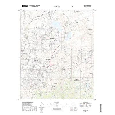
Editions of this 1960 Prescott Map
2 editions found
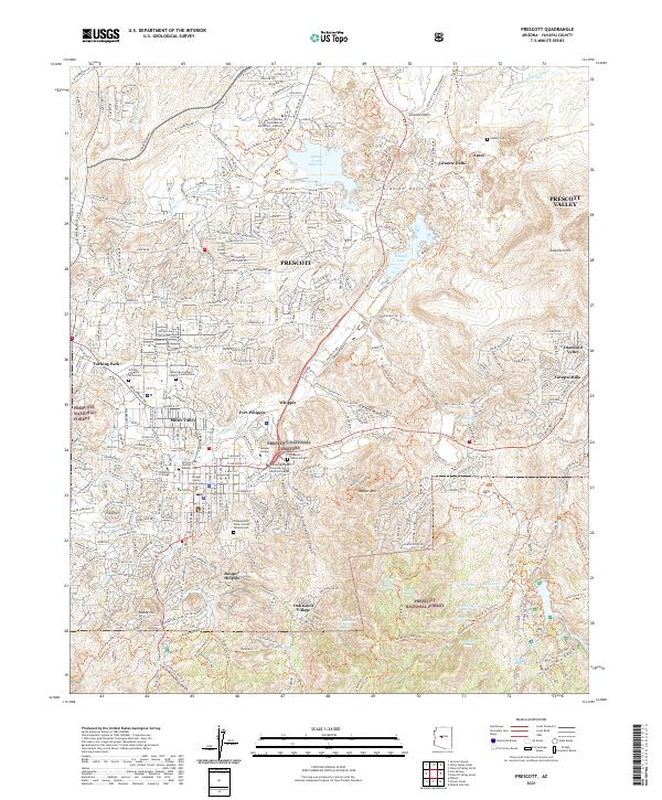
Historical Maps of Prescott Through Time
16 maps found

1887 Prescott
Yavapai County, AZ
1892 Prescott
Yavapai County, AZ
1947 Prescott
Yavapai County, AZ
1948 Prescott
Yavapai County, AZ

1950 Prescott
Yavapai County, AZ
1954 Prescott
Yavapai County, AZ

1958 Prescott
Yavapai County, AZ

1959 Prescott
Yavapai County, AZ
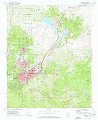
1960 Prescott
Yavapai County, AZ

1965 Prescott
Yavapai County, AZ
1973 Prescott
Yavapai County, AZ
1981 Prescott
Yavapai County, AZ
2012 Prescott
Yavapai County, AZ
2014 Prescott
Yavapai County, AZ
2018 Prescott
Yavapai County, AZ
2021 Prescott
Yavapai County, AZ