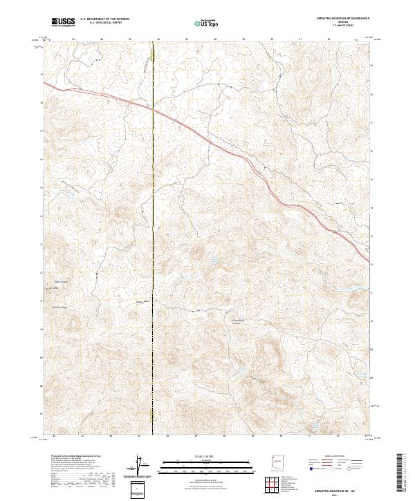
2021 Map of Arrastra Mountain NE
USGS Topo · Published 2021About this map
The Poachie Range and Arrastra Mtn dominate this high-desert landscape at the boundary of Mohave and Yavapai Counties. This 2021 survey reveals a terrain defined by dramatic drainages and vital water sources, where Placeritas Cr and Peoples Cr cut through the arid soil. The map is a record of numerous named water points essential to the region's history, including Little Trough Spring, Johns Spring, and South Peoples Spring. Highway 93 carves a path through the northern sections, providing the primary modern corridor through the Mojave Desert floor. These geographic features, along with names like Negro Ben Spring and Sycamore Spring, offer a clear look at the persistent importance of water in this part of Arizona.
Find a feature on this map
20 named features on this map. Tap any name to fly to it.
Don’t see what you’re looking for? This feature index may not catch every label — zoom into the map to look around manually.
Map Details
Editions of this 2021 Arrastra Mountain NE Map
This is the sole edition of this map. No revisions or reprints were ever made.
Other maps of this area

1923 · Signal
USGS Topo · 1:250,000

1942 · Signal
USGS Topo · 1:250,000

1945 · Bagdad
USGS Topo · 1:62,500

1948 · Bagdad
USGS Topo · 1:62,500

1950 · Prescott
USGS Topo · 1:250,000

1954 · Prescott
USGS Topo · 1:250,000

1958 · Prescott
USGS Topo · 1:250,000

1959 · Prescott
USGS Topo · 1:250,000

1960 · Prescott
USGS Topo · 1:250,000

1965 · Prescott
USGS Topo · 1:250,000