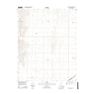
2014 Map of Arrow Canyon SE
USGS Topo · Published 2014About this map
Arrow Canyon Range dominates the western portion of this terrain, showing the characteristic geological uplift of the southern Nevada landscape. The survey area transitions from these higher elevations into the broad expanse of the Mojave Desert, illustrating the stark relationship between mountainous relief and the arid basins that define the region. In the southern reach, the topography levels into Dry Lake Valley, a landform typical of the interior drainage systems found throughout the Great Basin. This 2014 representation emphasizes the untouched natural state of these public lands within Clark County, where the lack of developed infrastructure or permanent settlements reflects the preservation of the desert environment.
Find a feature on this map
8 named features on this map. Tap any name to fly to it.
Don’t see what you’re looking for? This feature index may not catch every label — zoom into the map to look around manually.
Map Details
Editions of this 2014 Arrow Canyon SE Map
This is the sole edition of this map. No revisions or reprints were ever made.
Other maps of this area

1886 · Saint Thomas
USGS Topo · 1:250,000

1893 · Saint Thomas
USGS Topo · 1:250,000

1926 · Boulder Canyon
USGS Topo · 1:96,000

1952 · Dry Lake
USGS Topo · 1:62,500

1953 · Muddy Peak
USGS Topo · 1:62,500

1954 · Las Vegas
USGS Topo · 1:250,000

1957 · Las Vegas
USGS Topo · 1:250,000

1958 · Arrow Canyon
USGS Topo · 1:62,500

1958 · Moapa
USGS Topo · 1:62,500

1959 · Las Vegas
USGS Topo · 1:250,000