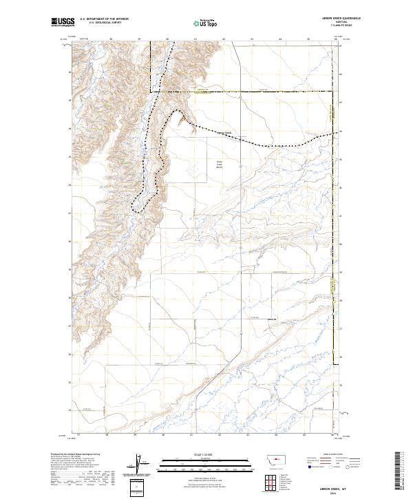
2024 Map of Arrow Creek
USGS Topo · Published 2024About this map
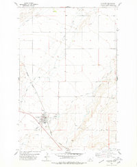
Arrow Creek flows through the heart of this central Montana landscape, marking the boundary between Fergus and Judith Basin Counties. The terrain is characterized by the sharp contrast between the broad, flat Arrow Creek Bench and the deeply incised drainages of Big Coulee and Surprise Creek. This geography reveals a traditional Western section-line road network, where routes like Westwind Rd and Elevator Rd navigate the edges of high tablelands and creek bottoms.
Find a feature on this map
28 named features on this map. Tap any name to fly to it.
Don’t see what you’re looking for? This feature index may not catch every label — zoom into the map to look around manually.
Map Details
Editions of this 2024 Arrow Creek Map
This is the sole edition of this map. No revisions or reprints were ever made.
Other maps of this area

1890 · Fort Benton
USGS Topo · 1:250,000

1892 · Fort Benton
USGS Topo · 1:250,000

1897 · Fort Benton
USGS Topo · 1:250,000

1954 · Great Falls
USGS Topo · 1:250,000

1957 · Great Falls
USGS Topo · 1:250,000
1978 · Stanford NE
USGS Topo · 1:24,000
1978 · Strouf Island
USGS Topo · 1:24,000

1978 · Leiberg Coulee
USGS Topo · 1:24,000
1978 · Merino
USGS Topo · 1:24,000
1978 · Stanford
USGS Topo · 1:24,000