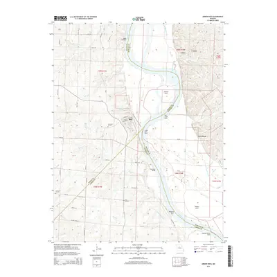
2014 Map of Arrow Rock
USGS Topo · Published 2014About this map
Arrow Rock serves as the focal point of this riverfront landscape, positioned where the Lewis and Clark Trail of Discovery meets the winding Missouri River. The area is defined by its deep historical roots and river-driven geography, featuring a series of significant oxbows and bends such as Arrow Rock Bend, Robinson Bends, and Slaughterhouse Bend. The proximity of the river to these settlements shaped the local economy and land use, as seen in the large land masses of Jameson Island and Wallace Island.
Find a feature on this map
75 named features on this map. Tap any name to fly to it.
Don’t see what you’re looking for? This feature index may not catch every label — zoom into the map to look around manually.
Map Details
Editions of this 2014 Arrow Rock Map
This is the sole edition of this map. No revisions or reprints were ever made.
Other maps of this area

1887 · Sedalia
USGS Topo · 1:125,000

1888 · Boonville
USGS Topo · 1:125,000

1890 · Glasgow
USGS Topo · 1:125,000

1890 · Marshall
USGS Topo · 1:125,000

1892 · Marshall
USGS Topo · 1:125,000

1894 · Sedalia
USGS Topo · 1:125,000

1901 · Marshall
USGS Topo · 1:125,000

1940 · Marshall
USGS Topo · 1:62,500

1944 · Marshall
USGS Topo · 1:62,500

1947 · Glasgow
USGS Topo · 1:62,500