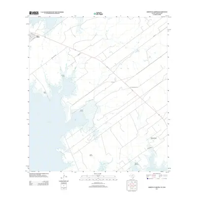
2012 Map of Arroyo Clareno
USGS Topo · Published 2012About this map
Falcon Reservoir dominates the western edge of this South Texas landscape, where the international boundary meets the brush country of Zapata County. The settlement of Siesta Shores sits near the northern shoreline, connected by a network of local roads such as Weslaco Ln and Mesa Salinas Rd. Further inland to the southeast, Alejandrenas anchors a region defined by seasonal drainages and livestock infrastructure, including El Rancho Tank and Juanes Tank. This 2012 survey illustrates a landscape of large ranch holdings and dispersed communities, where family heritage is anchored at sites like Garcia Cem. The terrain rises from the reservoir flats toward Green Valley and Loma Blanca, carved by several prominent arroyos, including Arroyo Leon, Arroyo Melones, and the namesake Arroyo Clareño.
Find a feature on this map
21 named features on this map. Tap any name to fly to it.
Don’t see what you’re looking for? This feature index may not catch every label — zoom into the map to look around manually.
Map Details
Editions of this 2012 Arroyo Clareno Map
This is the sole edition of this map. No revisions or reprints were ever made.
Other maps of this area

1938 · Falcon
USGS Topo · 1:62,500

1949 · Mc Allen
USGS Topo · 1:250,000

1954 · McAllen
USGS Topo · 1:250,000

1956 · Zapata
USGS Topo · 1:62,500

1956 · Arroyo Clareno
USGS Topo · 1:62,500

1957 · Mc Allen
USGS Topo · 1:250,000

1962 · McAllen
USGS Topo · 1:250,000

1965 · Lopeno
USGS Topo · 1:24,000
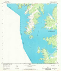
1965 · Beckwith Arm
USGS Topo · 1:24,000
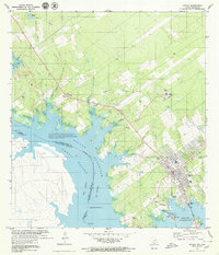
1979 · Zapata
USGS Topo · 1:24,000