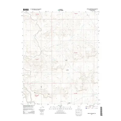
2013 Map of Arroyo Empedrado
USGS Topo · Published 2013About this map
Rincon Largo and Mesa San Luis represent the primary points of settlement within this landscape of the Eastern Navajo Agency during the early 21st century. The map illustrates a complex network of seasonal watercourses and drainage features, including the Arroyo Piedra Lumbre and Arroyo Empedrado, which define the local topography.
Find a feature on this map
19 named features on this map. Tap any name to fly to it.
Don’t see what you’re looking for? This feature index may not catch every label — zoom into the map to look around manually.
Map Details
Editions of this 2013 Arroyo Empedrado Map
This is the sole edition of this map. No revisions or reprints were ever made.
Other maps of this area

1883 · Mt. Taylor
USGS Topo · 1:250,000

1886 · Mt. Taylor
USGS Topo · 1:250,000

1892 · Mt. Taylor
USGS Topo · 1:250,000

1899 · Mt. Taylor
USGS Topo · 1:250,000

1958 · Albuquerque
USGS Topo · 1:250,000
1961 · Headcut Reservoir
USGS Topo · 1:24,000

1961 · Cerro Parido
USGS Topo · 1:24,000

1961 · Arroyo Empedrado
USGS Topo · 1:24,000
1961 · Canada Calladita
USGS Topo · 1:24,000
1961 · Tinian
USGS Topo · 1:24,000