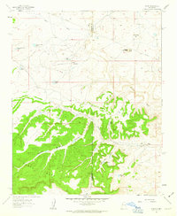
1961 Map of Tinian
USGS Topo · Published 1963About this map
Tinian Mission and the small settlement of Tinian anchor this high-desert landscape at the boundary of McKinley and Sandoval Counties. This 1961 field-checked survey reveals a remote economy driven by livestock and mineral exploration, evidenced by scattered livestock watering points like Uranium Claim Tank and Homestead Corner Tank. The terrain is defined by the massive Chaco Mesa to the south and Mesa de San Felipe to the east, with deep drainages such as Cañon Piñon and Vicente Arroyo cutting through the pinyon-juniper forest. A dedicated Landing Strip and the Torreon Trading Post suggest the area's role as a regional hub for commerce and transportation in a sparsely populated corner of New Mexico. Geologic interest is further noted by an Oil Well and specific landmarks like Sheep Queen Hill, providing a look at land use before modern infrastructure reached these basins.
Find a feature on this map
27 named features on this map. Tap any name to fly to it.
Don’t see what you’re looking for? This feature index may not catch every label — zoom into the map to look around manually.
Map Details
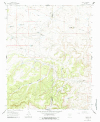
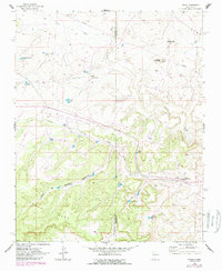
Editions of this 1961 Tinian Map
3 editions found
Other maps of this area

1883 · Mt. Taylor
USGS Topo · 1:250,000

1886 · Mt. Taylor
USGS Topo · 1:250,000

1892 · Mt. Taylor
USGS Topo · 1:250,000

1899 · Mt. Taylor
USGS Topo · 1:250,000

1958 · Albuquerque
USGS Topo · 1:250,000
1961 · Ojo Encino Mesa
USGS Topo · 1:24,000
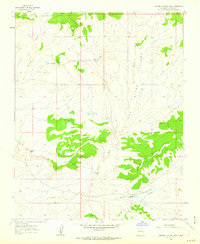
1961 · Johnson Trading Post
USGS Topo · 1:24,000
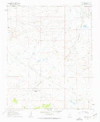
1961 · Star Lake
USGS Topo · 1:24,000

1961 · Mesita Del Gavilan
USGS Topo · 1:24,000

1961 · Arroyo Empedrado
USGS Topo · 1:24,000
Featured Places
- Eastern Navajo Agency, NM
- Tinian, Eastern Navajo Agency
- Sandoval County, NM
- McKinley County, NM
- United States