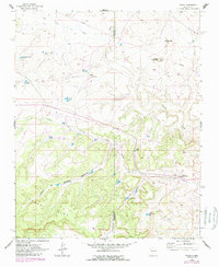
1961 Map of Tinian
USGS Topo · Published 1989About this map
Chaco Mesa dominates the southern landscape of this high-desert region, where deeply incised drainages like Piñon Canyon and Julio Juan Canyon cut through the terrain toward the Sandoval County line. The settlement of Tinian serves as a small hub for the surrounding ranchlands and is defined by the presence of the Tinian Mission and a nearby Landing Strip. The map captures an era of energy exploration and isolated commerce, evident in the network of pipelines crossing the northern washes and the landmark Torreon Trading Post near the eastern boundary.
Find a feature on this map
29 named features on this map. Tap any name to fly to it.
Don’t see what you’re looking for? This feature index may not catch every label — zoom into the map to look around manually.
Map Details
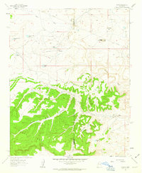
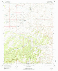
Editions of this 1961 Tinian Map
3 editions found
Other maps of this area

1883 · Mt. Taylor
USGS Topo · 1:250,000

1886 · Mt. Taylor
USGS Topo · 1:250,000

1892 · Mt. Taylor
USGS Topo · 1:250,000

1899 · Mt. Taylor
USGS Topo · 1:250,000

1958 · Albuquerque
USGS Topo · 1:250,000
1961 · Ojo Encino Mesa
USGS Topo · 1:24,000
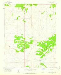
1961 · Johnson Trading Post
USGS Topo · 1:24,000
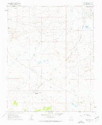
1961 · Star Lake
USGS Topo · 1:24,000

1961 · Mesita Del Gavilan
USGS Topo · 1:24,000

1961 · Arroyo Empedrado
USGS Topo · 1:24,000
Featured Places
- Eastern Navajo Agency, NM
- Tinian, Eastern Navajo Agency
- Sandoval County, NM
- McKinley County, NM
- United States