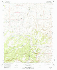
1961 Map of Tinian
USGS Topo · Published 1987About this map
The small high-desert settlement of Tinian sits at the center of this 1961 field-checked survey, positioned along the border of McKinley and Sandoval counties. This landscape is defined by the massive Chaco Mesa, which dominates the southern half of the map with its complex system of drainages, including Sandoval Arroyo and the deep Julio Juan Canyon. Water management is the primary evidence of land use here, with numerous stock tanks like Uranium Claim Tank and Cactus Flat Tank scattered throughout the arid terrain to support local ranching. The presence of a Landing Strip and an Oil Well north of town suggests the mid-century industrial interests common to this region of New Mexico. Local community life centers on the Tinian Mission, while the Torreon Trading Post near Torreon Arroyo marks an important node for commerce and travel in this high-altitude basin.
Find a feature on this map
30 named features on this map. Tap any name to fly to it.
Don’t see what you’re looking for? This feature index may not catch every label — zoom into the map to look around manually.
Map Details
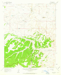
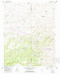
Editions of this 1961 Tinian Map
3 editions found
Other maps of this area

1883 · Mt. Taylor
USGS Topo · 1:250,000

1886 · Mt. Taylor
USGS Topo · 1:250,000

1892 · Mt. Taylor
USGS Topo · 1:250,000

1899 · Mt. Taylor
USGS Topo · 1:250,000

1958 · Albuquerque
USGS Topo · 1:250,000
1961 · Ojo Encino Mesa
USGS Topo · 1:24,000
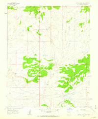
1961 · Johnson Trading Post
USGS Topo · 1:24,000
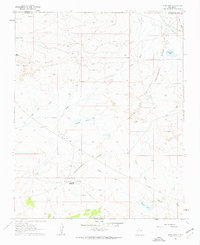
1961 · Star Lake
USGS Topo · 1:24,000

1961 · Mesita Del Gavilan
USGS Topo · 1:24,000

1961 · Arroyo Empedrado
USGS Topo · 1:24,000
Featured Places
- Eastern Navajo Agency, NM
- Tinian, Eastern Navajo Agency
- Sandoval County, NM
- McKinley County, NM
- United States